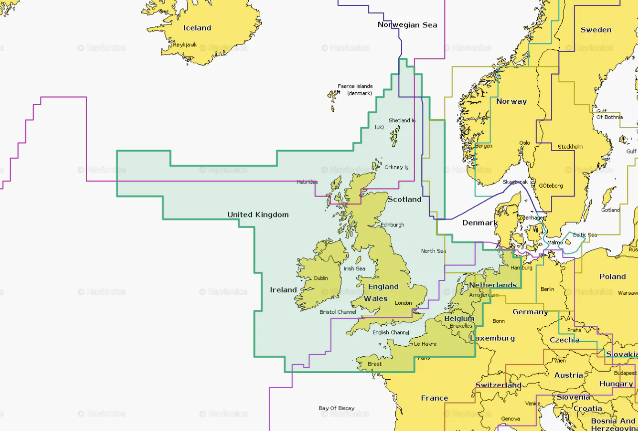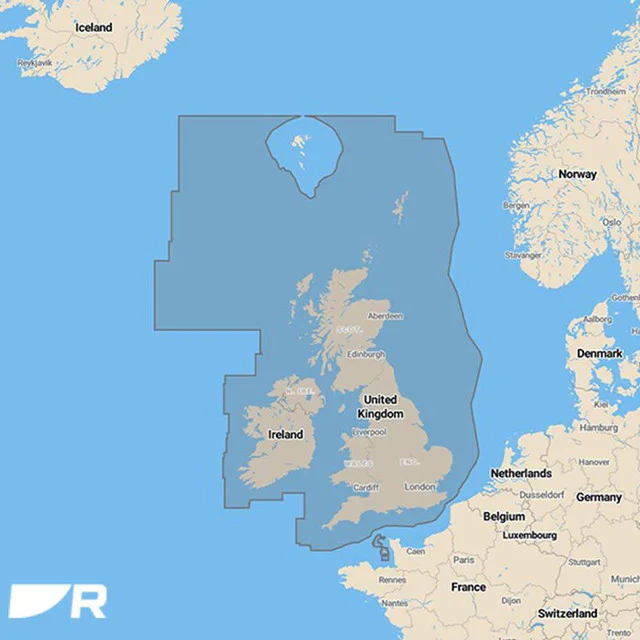

Garmin UK and Ireland Vision Chart
No matter which Garmin Navionics mapping product you choose for your compatible chartplotter, you’ll enjoy deeply detailed coastal and inland charts designed to help you navigate with clarity and confidence.
For many boaters, Garmin Navionics+ is the trusted standard, offering rich detail, essential features and daily updates.
But for those who want even more information and enhanced visual detail, the premium Garmin Navionics Vision+™ charts deliver advanced imagery and powerful viewing tools that elevate your on-water awareness.
Compare the Features
| Feature | Garmin Navionics+ | Garmin Navionics Vision+ |
|---|---|---|
| Coastal Content | ✓ | ✓ |
| Inland Content | 88,000+ lakes | 88,000+ lakes |
| Detailed Nautical Charts | ✓ | ✓ |
| Up to 1' Contours | ✓ | ✓ |
| Daily Updates¹ | ✓ Via ActiveCaptain® app | ✓ Via ActiveCaptain® app |
| Auto Guidance+™ Technology² | ✓ | ✓ |
| ActiveCaptain® App Support | ✓ | ✓ |
| ActiveCaptain® Community | ✓ | ✓ |
| Depth Range Shading | ✓ | ✓ |
| Shallow Water Shading | ✓ | ✓ |
| Relief Shading¹ | — | ✓ |
| High-Resolution Satellite Imagery¹ | — | ✓ Via ActiveCaptain® app |
| Aerial Photos | — | ✓ |
| 3D FishEye View | — | ✓ |
| 3D MarinerEye View | — | ✓ |
| Dynamic Lake Level | — | ✓ |
Original: $308.33
-65%$308.33
$107.92Product Information
Product Information
Shipping & Returns
Shipping & Returns
Description
No matter which Garmin Navionics mapping product you choose for your compatible chartplotter, you’ll enjoy deeply detailed coastal and inland charts designed to help you navigate with clarity and confidence.
For many boaters, Garmin Navionics+ is the trusted standard, offering rich detail, essential features and daily updates.
But for those who want even more information and enhanced visual detail, the premium Garmin Navionics Vision+™ charts deliver advanced imagery and powerful viewing tools that elevate your on-water awareness.
Compare the Features
| Feature | Garmin Navionics+ | Garmin Navionics Vision+ |
|---|---|---|
| Coastal Content | ✓ | ✓ |
| Inland Content | 88,000+ lakes | 88,000+ lakes |
| Detailed Nautical Charts | ✓ | ✓ |
| Up to 1' Contours | ✓ | ✓ |
| Daily Updates¹ | ✓ Via ActiveCaptain® app | ✓ Via ActiveCaptain® app |
| Auto Guidance+™ Technology² | ✓ | ✓ |
| ActiveCaptain® App Support | ✓ | ✓ |
| ActiveCaptain® Community | ✓ | ✓ |
| Depth Range Shading | ✓ | ✓ |
| Shallow Water Shading | ✓ | ✓ |
| Relief Shading¹ | — | ✓ |
| High-Resolution Satellite Imagery¹ | — | ✓ Via ActiveCaptain® app |
| Aerial Photos | — | ✓ |
| 3D FishEye View | — | ✓ |
| 3D MarinerEye View | — | ✓ |
| Dynamic Lake Level | — | ✓ |