🚚 Free Worldwide Shipping on All Orders!Shop Now

Imray M13 Chart - Denia to Barcelona and Ibiza
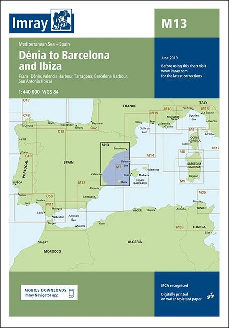
Imray M13 - Denia to Barcelona and Ibiza
The award winning Imray navigational charts allow for easy chart plotting in any conditions.
This edition of the M13 paper chart is printed and corrected to June 2019.
- Digitially printed on water resitant paper & folded to A4 size in a plastic wallet - open size: 64 x 90cm
- Chart scale 1:440 000
- WGS 84
- MCA recognised
- Detailed cartography using up-to-date official survey data, with the latest depth surveys applied
- Includes a separate sheet of information with any symbols & abbreviations used on Imray charts
- The chart specification has been improved to show coloured light flashes
- Latest chart corrections available on the Imray website
Plans included:
- Denia
- Valencia Harbour
- Tarragona
- Barcelona Harbour
- San Antonio (Ibiza)
$11.24
Original: $32.11
-65%Imray M13 Chart - Denia to Barcelona and Ibiza—
$32.11
$11.24Product Information
Product Information
Shipping & Returns
Shipping & Returns
Description
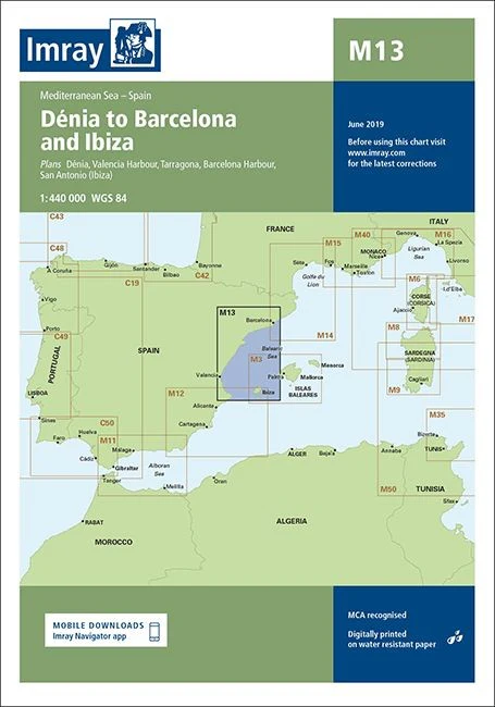
Imray M13 - Denia to Barcelona and Ibiza
The award winning Imray navigational charts allow for easy chart plotting in any conditions.
This edition of the M13 paper chart is printed and corrected to June 2019.
- Digitially printed on water resitant paper & folded to A4 size in a plastic wallet - open size: 64 x 90cm
- Chart scale 1:440 000
- WGS 84
- MCA recognised
- Detailed cartography using up-to-date official survey data, with the latest depth surveys applied
- Includes a separate sheet of information with any symbols & abbreviations used on Imray charts
- The chart specification has been improved to show coloured light flashes
- Latest chart corrections available on the Imray website
Plans included:
- Denia
- Valencia Harbour
- Tarragona
- Barcelona Harbour
- San Antonio (Ibiza)