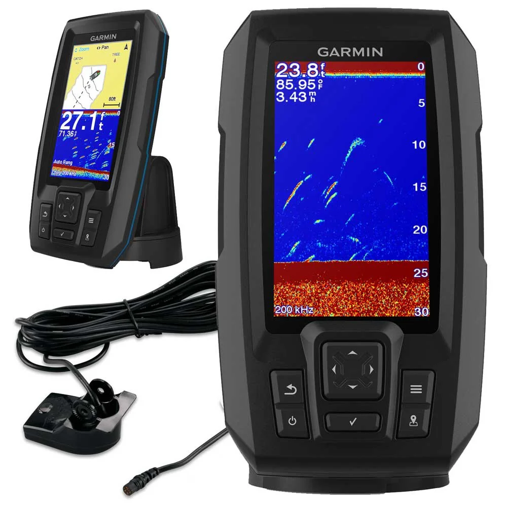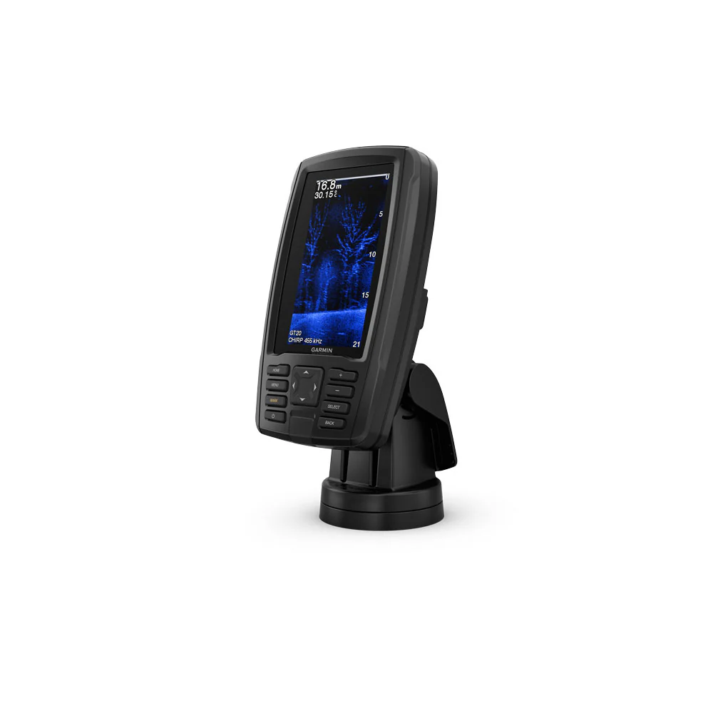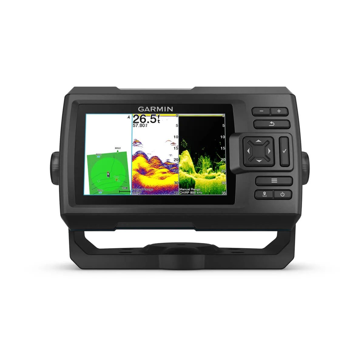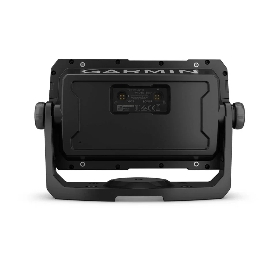


Garmin CHOMAP™ Ultra 2 12" Chartplotter 122sv without Transducer
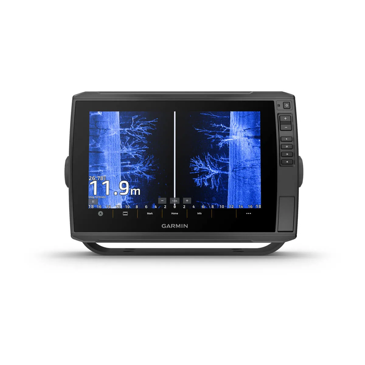
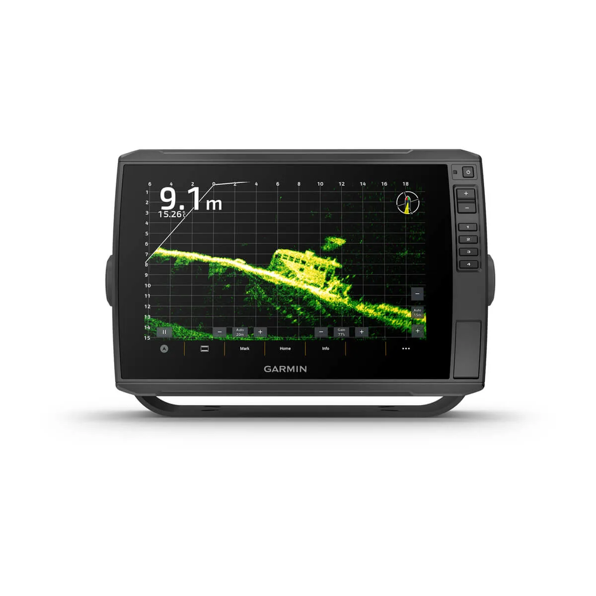
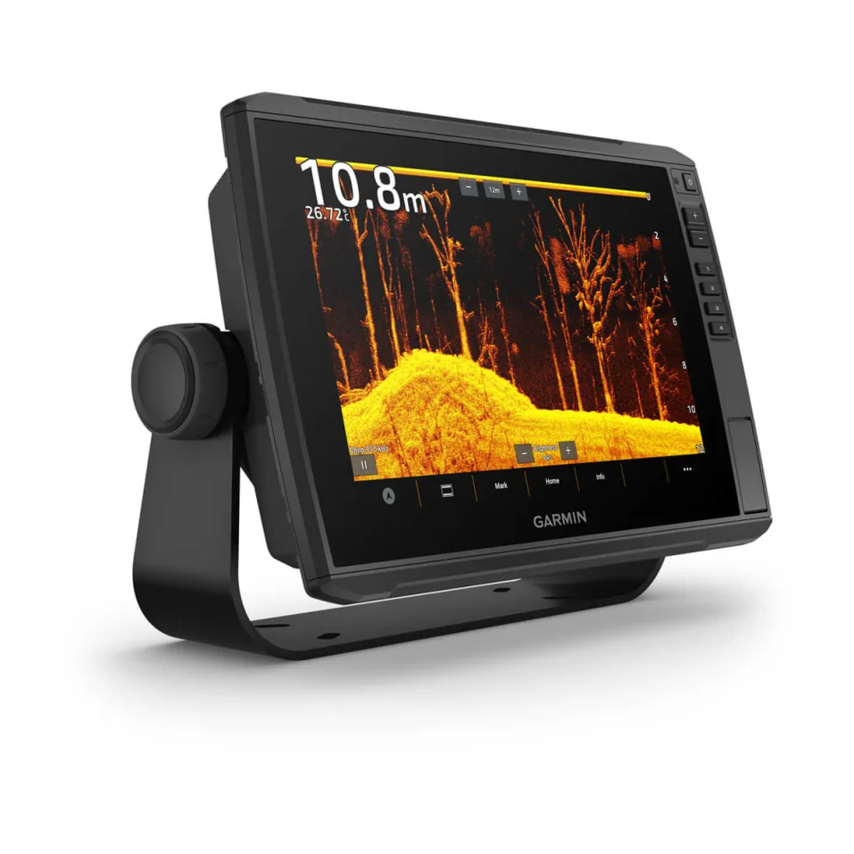
As a leading expert in marine navigation technology, we are proud to introduce the ECHOMAP™ Ultra 2 12" Chartplotter 122sv without Transducer. With its 12-inch display and advanced chartplotting capabilities, this product delivers accurate and reliable navigation performance. Experience the benefits of our cutting-edge technology in your marine adventures.
In The Box
- ECHOMAP Ultra 122sv
- Charging/data cable
- Bail Mount With Quick Release Cradle
- Protective sun cover
- Hardware
- Documentation
| imension | 34.1 x 22.9 x 9.8 cm (13.4″ x 9″ x 3.9″) |
| Weight | 2.5 kg (5.5 lbs) |
| Water rating | IPX7 |
| Touchscreen | Yes |
| Display Type | WXGA, IPS |
| Display Size | 26.1 x 16.3 cm; 30.7 cm diagonal (10.3″ x 6.4″; 12.1″ diagonal) |
| Display Resolution | 1280 x 800 pixels |
| Mounting Options | Bail or flush |
| Input | Touchscreen with Keyed Assist |
| Maps & memory | |
|---|---|
| Accepts Data Cards | 2 microSD Cards |
| Waypoints | 5000 |
| Track points | 50,000 |
| Tracks | 50 saved tracks |
| Navigation Routes | 100 |
| Sensors | |
|---|---|
| GPS | Yes |
| GLONASS | Yes |
| Galileo | Yes |
| BeiDou | Yes |
| Has built-in receiver | Yes |
| Receiver | 10 Hz |
| NMEA 2000® compatible | Yes |
| Supports WAAS | Yes |
| Supports multi-band, multi-constellation GPS | Yes |
| Optional map support | |
|---|---|
| BlueChart g3 | Yes |
| BlueChart g3 Vision | Yes |
| Garmin Navionics+™ | Yes |
| Garmin Navionics Vision+™ | Yes |
| TOPO 100K | Yes |
| Standard Mapping | Yes |
| Garmin Quickdraw Contours | Yes |
| Chartplotter features | |
|---|---|
| AIS | Yes |
| DSC | Yes |
| Supports Fusion-Link™ compatible radios | Yes |
| ActiveCaptain Mobile Planning Compatible | Yes |
| Sailing features | Yes |
| Electrical features | |
|---|---|
| Power Input | 9 to 18 Vdc |
| Typical current draw at 12 Vdc | 2.5 A |
| Maximum current draw at 12 Vdc | 5 A |
| Maximum power usage at 10 Vdc | 36 W |
| Sonar features & specifications | |
|---|---|
| Displays sonar | Yes |
| Power output | 600 W |
| Traditional sonar (dual frequency/beam) | built-in (single channel CHIRP, 70/83/200 kHz, L, M, H CHIRP) |
| ClearVü | Built-in 260/455/800/1000/1200 kHz |
| SideVü | Built-in 260/455/800/1000/1200 kHz |
| Panoptix™ sonar | Yes |
| LiveScope | Yes |
| Connections | |
|---|---|
| NMEA 2000® ports | 1 |
| Garmin Marine Network Ports | 2 (large connector) |
| 12-pin transducer ports | 12-pin scanning sonar |
| ANT+ (Connectivity) | Yes |
| Garmin Wi-Fi network (local connection) | Yes |
Product Information
Product Information
Shipping & Returns
Shipping & Returns
Description
As a leading expert in marine navigation technology, we are proud to introduce the ECHOMAP™ Ultra 2 12" Chartplotter 122sv without Transducer. With its 12-inch display and advanced chartplotting capabilities, this product delivers accurate and reliable navigation performance. Experience the benefits of our cutting-edge technology in your marine adventures.
In The Box
- ECHOMAP Ultra 122sv
- Charging/data cable
- Bail Mount With Quick Release Cradle
- Protective sun cover
- Hardware
- Documentation
| imension | 34.1 x 22.9 x 9.8 cm (13.4″ x 9″ x 3.9″) |
| Weight | 2.5 kg (5.5 lbs) |
| Water rating | IPX7 |
| Touchscreen | Yes |
| Display Type | WXGA, IPS |
| Display Size | 26.1 x 16.3 cm; 30.7 cm diagonal (10.3″ x 6.4″; 12.1″ diagonal) |
| Display Resolution | 1280 x 800 pixels |
| Mounting Options | Bail or flush |
| Input | Touchscreen with Keyed Assist |
| Maps & memory | |
|---|---|
| Accepts Data Cards | 2 microSD Cards |
| Waypoints | 5000 |
| Track points | 50,000 |
| Tracks | 50 saved tracks |
| Navigation Routes | 100 |
| Sensors | |
|---|---|
| GPS | Yes |
| GLONASS | Yes |
| Galileo | Yes |
| BeiDou | Yes |
| Has built-in receiver | Yes |
| Receiver | 10 Hz |
| NMEA 2000® compatible | Yes |
| Supports WAAS | Yes |
| Supports multi-band, multi-constellation GPS | Yes |
| Optional map support | |
|---|---|
| BlueChart g3 | Yes |
| BlueChart g3 Vision | Yes |
| Garmin Navionics+™ | Yes |
| Garmin Navionics Vision+™ | Yes |
| TOPO 100K | Yes |
| Standard Mapping | Yes |
| Garmin Quickdraw Contours | Yes |
| Chartplotter features | |
|---|---|
| AIS | Yes |
| DSC | Yes |
| Supports Fusion-Link™ compatible radios | Yes |
| ActiveCaptain Mobile Planning Compatible | Yes |
| Sailing features | Yes |
| Electrical features | |
|---|---|
| Power Input | 9 to 18 Vdc |
| Typical current draw at 12 Vdc | 2.5 A |
| Maximum current draw at 12 Vdc | 5 A |
| Maximum power usage at 10 Vdc | 36 W |
| Sonar features & specifications | |
|---|---|
| Displays sonar | Yes |
| Power output | 600 W |
| Traditional sonar (dual frequency/beam) | built-in (single channel CHIRP, 70/83/200 kHz, L, M, H CHIRP) |
| ClearVü | Built-in 260/455/800/1000/1200 kHz |
| SideVü | Built-in 260/455/800/1000/1200 kHz |
| Panoptix™ sonar | Yes |
| LiveScope | Yes |
| Connections | |
|---|---|
| NMEA 2000® ports | 1 |
| Garmin Marine Network Ports | 2 (large connector) |
| 12-pin transducer ports | 12-pin scanning sonar |
| ANT+ (Connectivity) | Yes |
| Garmin Wi-Fi network (local connection) | Yes |