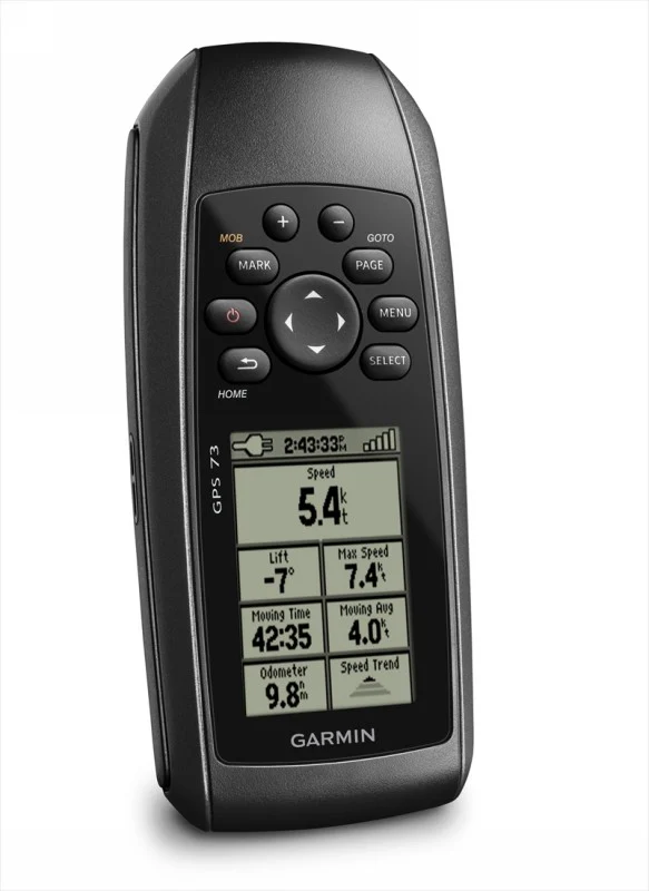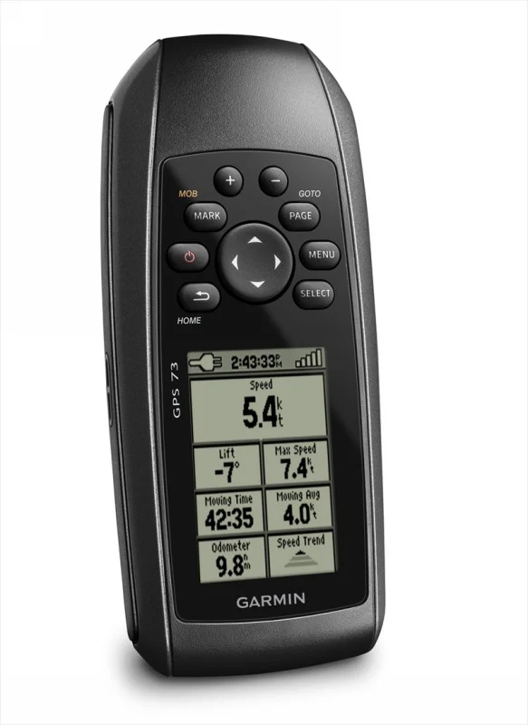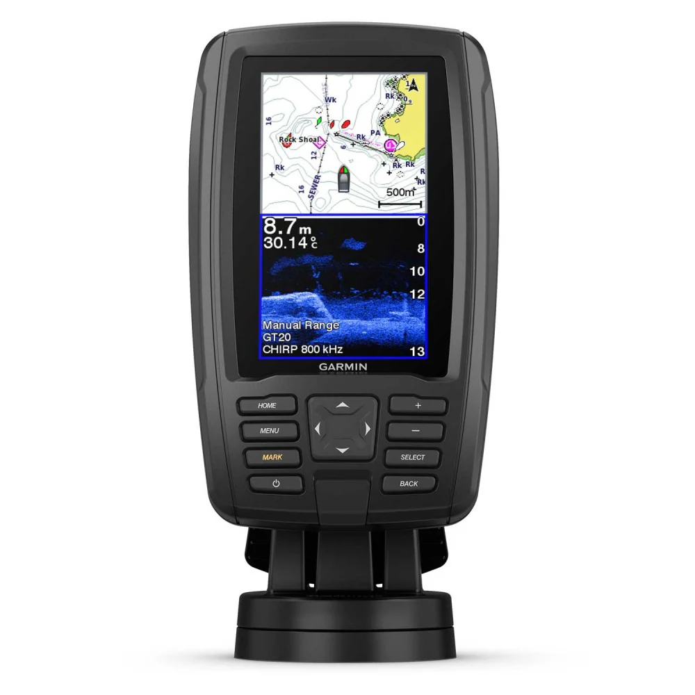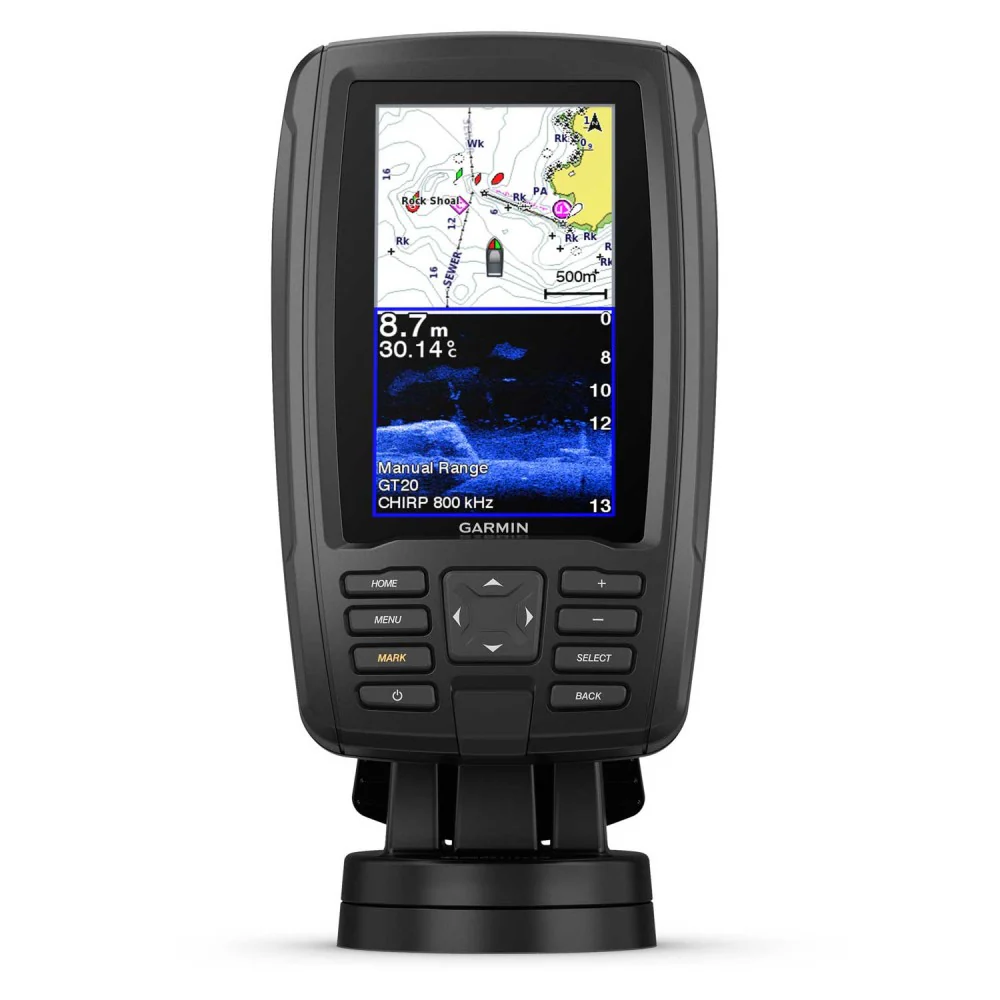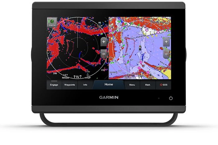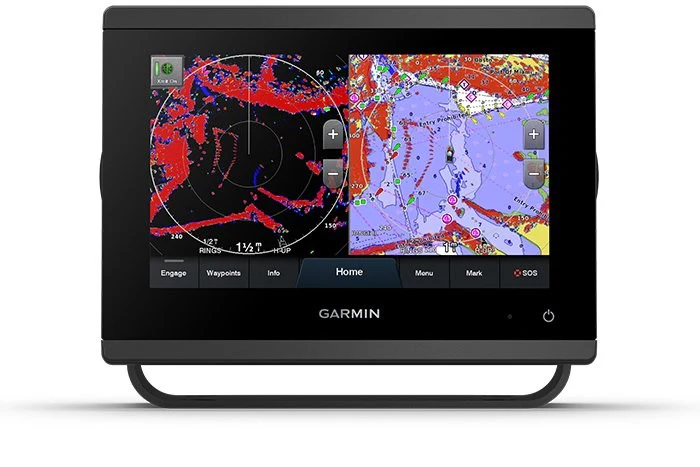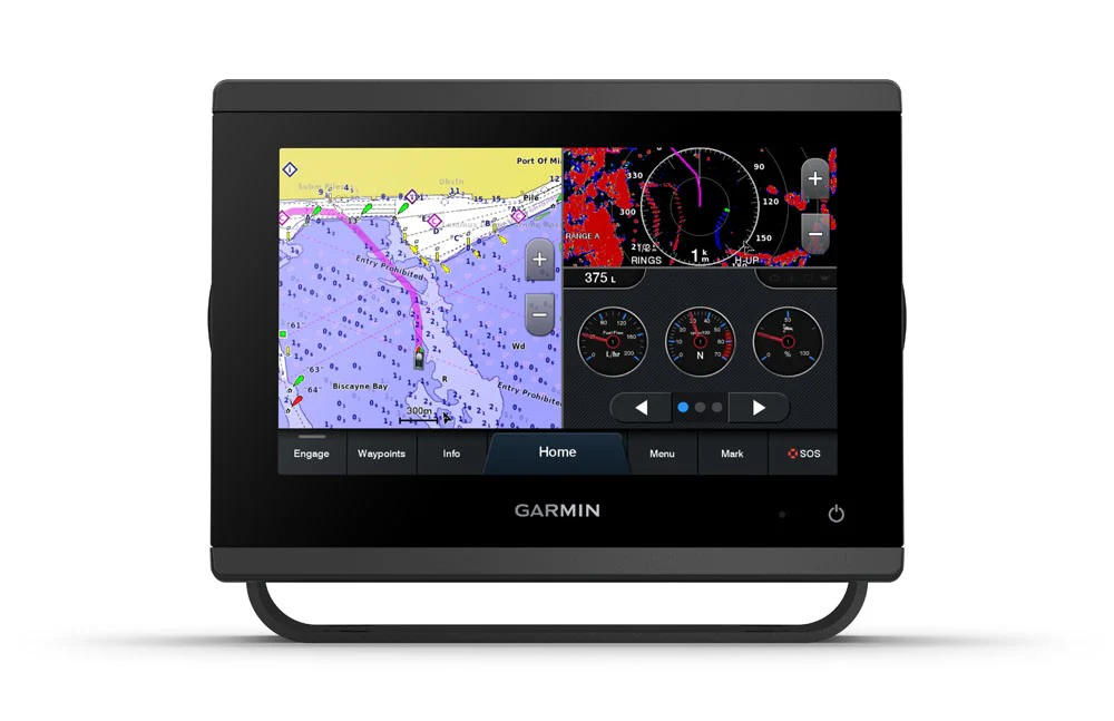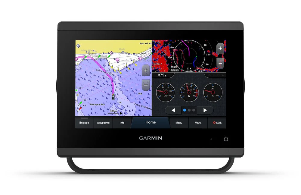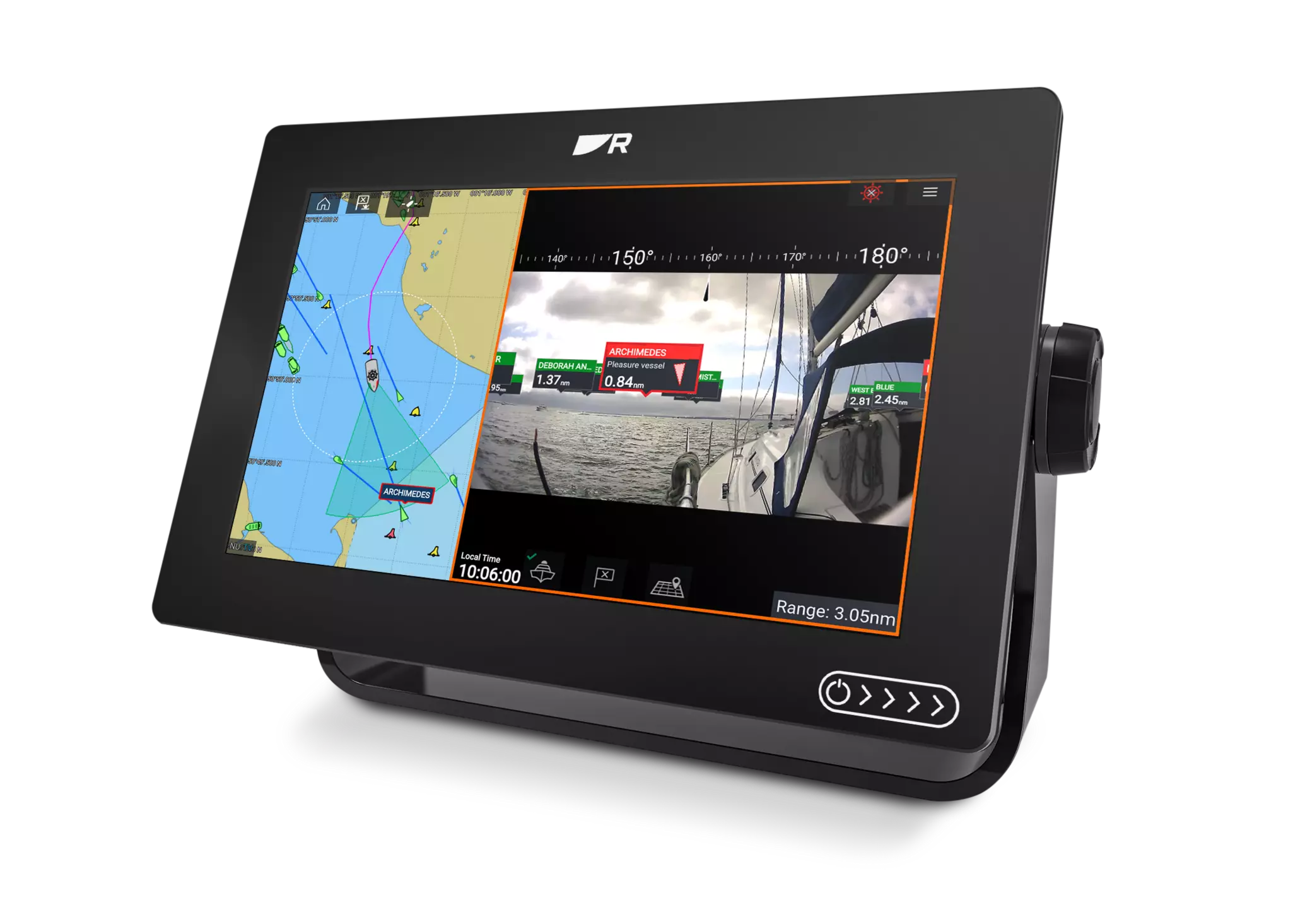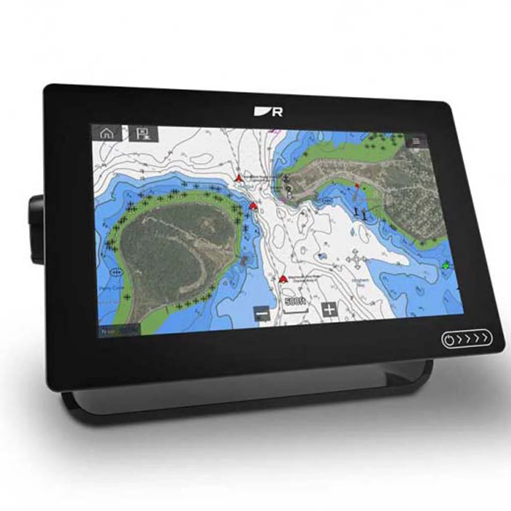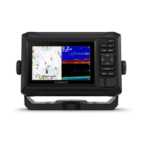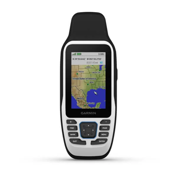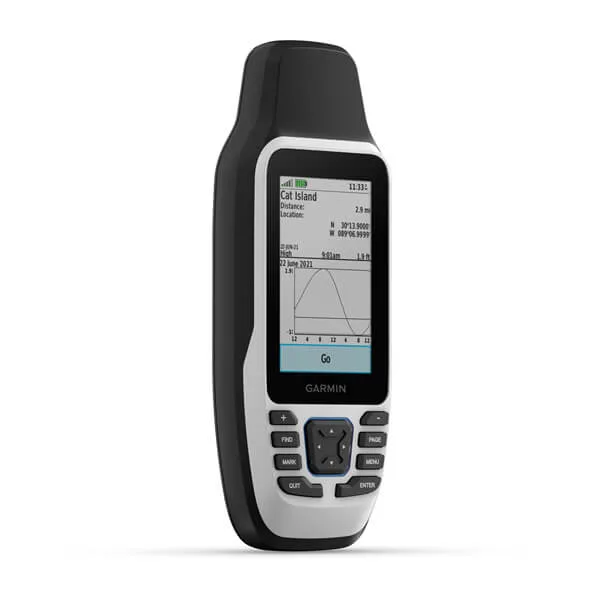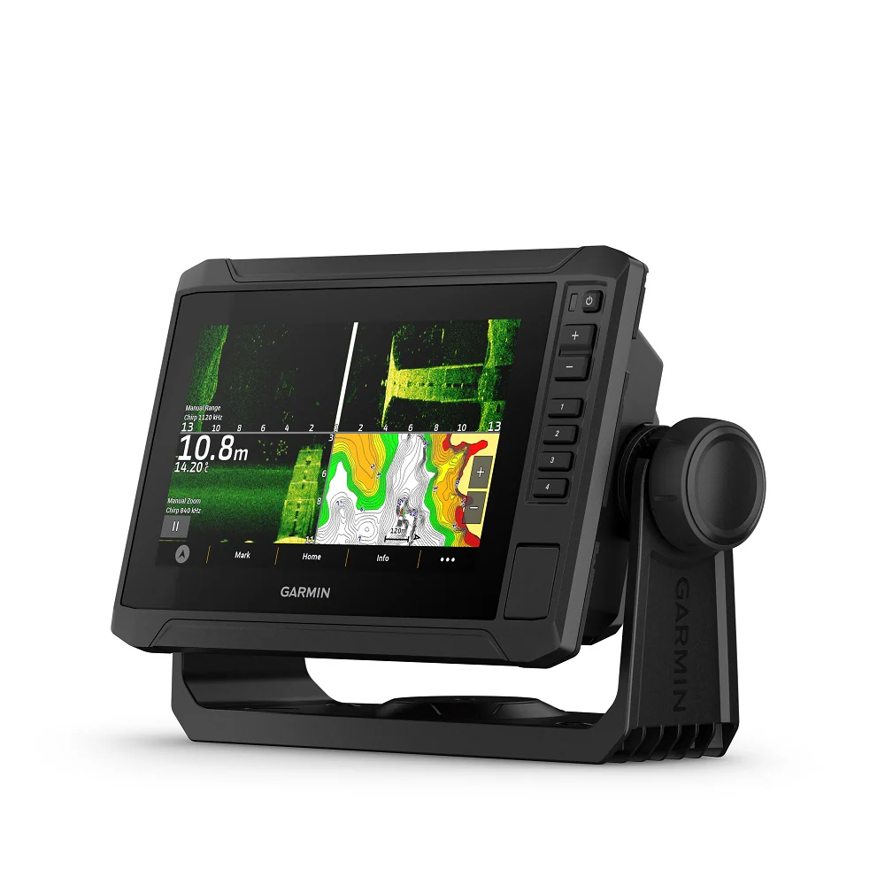
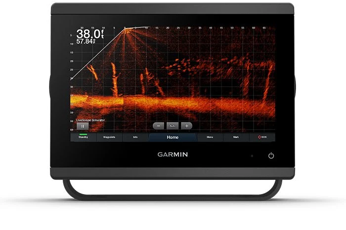
Garmin GPSMAP® 923xsv, SideVü, ClearVü and Traditional CHIRP Sonar
Garmin GPSMAP 923XSV SideVu ClearVu and Traditional CHIRP Sonar With World Basemap
The Garmin GPSMAP 923XSV Charplotter features full HD in-plane switching (IPS) touchscreen display for wider viewing angles, superior clarity and sunlight readability. Engine integration with J939 and OneHelm for full vessel integration, including Empirbus digital switching.
With an additional 50% more display pixels and nearly double processing power compared to the previous Garmin 9 Inch Chartplotter generation, this high-resolution chartplotter is the ultimate addition to your Garmin marine system.
Garmin 923XSV Chartplotter Features
- Easily integrate with more engines
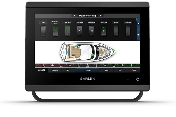
- Connect to compatible third-party devices with OneHelm™ digital switching
- Easily build your marine system using the best network connectivity
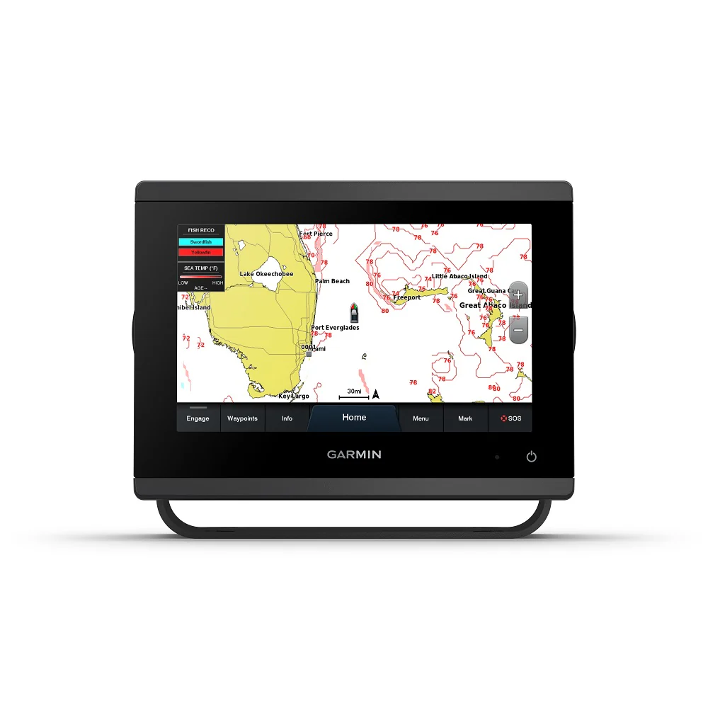
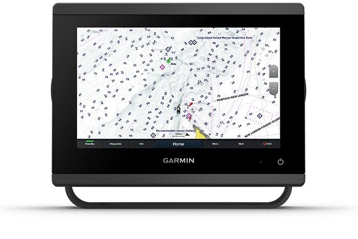
- Navigate any waters with preloaded mapping and coastal charts
- See below your boat with built-in sonar capabilities
- Manage your marine experience from nearly anywhere
In The Box
- GPSMAP 923xsv chartplotter
- microSD™ card preinstalled
- Power cable
- NMEA 2000® T-connector
- NMEA 2000 drop cable (2 metres)
- 8-pin transducer to 12-pin sounder adapter cable
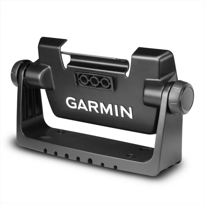
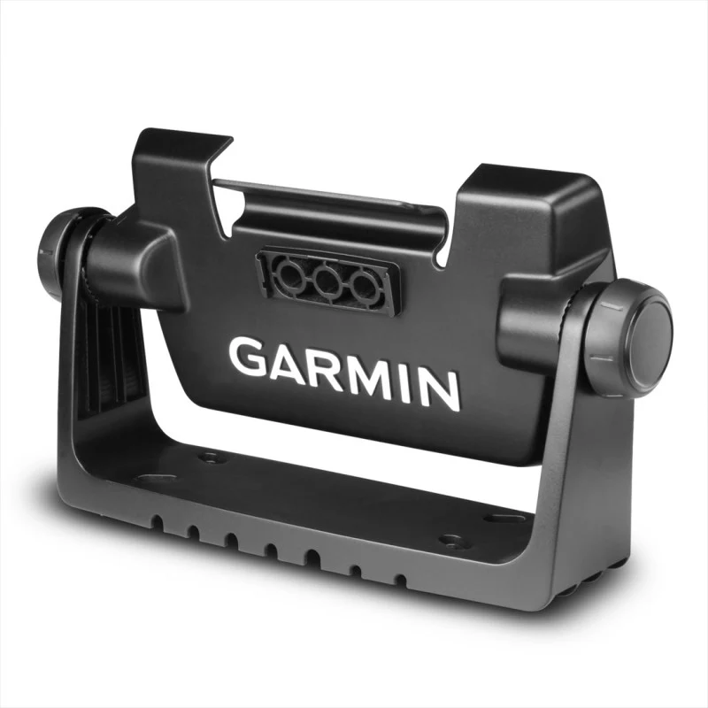
- Bail mount kit with knobs
- Flush mount kit with gasket
- Protective cover
- Trim piece snap covers
- Documentation

Ultra High-Definition Scanning Sonar
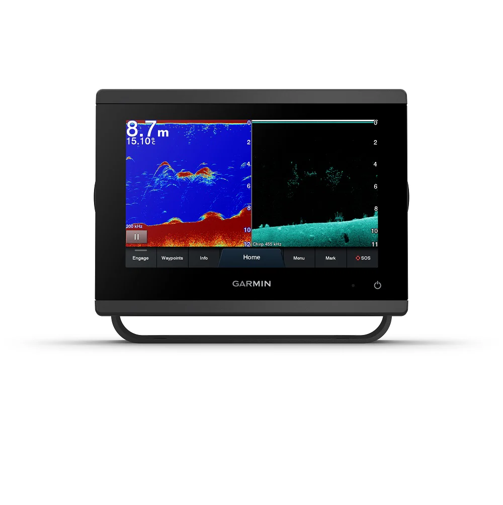
Get built-in Ultra High-Definition SideVü and ClearVü scanning sonars with vivid, high-contrast colour palettes to help distinguish fish from structure. GPSMAP® 1223xsv also supports 1 kW CHIRP traditional sonar capabilities.

Panoptix Sonar Support
Pair with Panoptix or Panoptix LiveScope™ easy-to-interpret live sonar (transducer sold separately) to see all around your boat in real time.

Faster, Smarter, Sharper
With its added processing power and new slimline design featuring edge-to-edge glass and a smaller unit footprint, it’s easy to retrofit this 9-inch plotter in a wider range of dash configurations.

Improved Display Optics
New higher-resolution 9-inch displays offer improved sunlight readability with 50% more pixels than previous-generation 9-inch GPSMAP devices.

Garmin Sailassist™ Sailing Features
View laylines, race start line guidance, enhanced wind rose, heading and course-over-ground lines, true wind data fields and tide/current/time slider, wind angle, set and drift, wind speed and more.

Optional Bluechart G3 Vision Charts
These optional charts offer the best of Garmin and Navionics® data, Auto Guidance technology and other premium navigation features.

Optional Radar Bundle
To help you avoid weather and traffic on the water, the compact 4 kW GMR™ 18 HD+ dome radar is available as a bundled option with your GPSMAP chartplotter/sonar package.

Improved Garmin Network Connectivity
If you have multiple compatible Garmin devices on your boat, you can share information — such as maps, user data, radar and IP camera video — among them.

NMEA 2000 and NMEA 0183 Networks
Connect to compatible autopilots, digital switching, weather, Fusion-Link™ audio system, media, VHF, AIS and more from one screen.

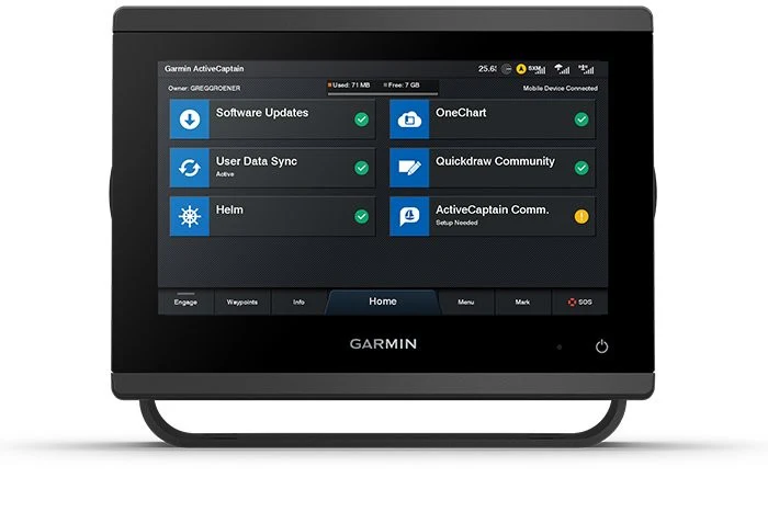
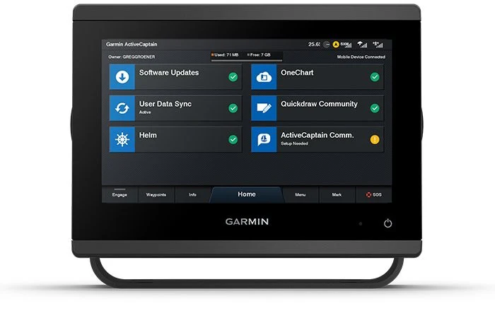
Activecaptain APP
Built-in Wi-Fi® connectivity pairs with the free all-in-one mobile app for access to the OneChart™ feature, smart notifications, software updates, Garmin Helm™ digital switching, Garmin Quickdraw™ Community data and more.

Integrated ANT Technology
Now you can connect your chartplotter to different kinds of engines, including select Yamaha engines.

Onehelm Feature
This exclusive feature brings together all the operations and capabilities of select third-party devices, such as EmpirBus™ digital switching, on one screen.
General Information
| PHYSICAL DIMENSIONS | 9.2" x 6.4" x 3" (23.3 x 16.2 x 7.6 cm) |
|---|---|
| DISPLAY SIZE | 7.8" x 4.4"; 9.0" diagonal (19.9 x 11.2 cm; 22.9 cm diagonal) |
| DISPLAY RESOLUTION | 1280 x 720 pixels |
| DISPLAY TYPE | WSVGA display |
| WEIGHT | 3.6 lbs (1.6 kg) |
| WATER RATING | IPX7 |
| MOUNTING OPTIONS | Bail, flush or flat |
| POLARISED SUPPORT | YES |
| POWER CONSUMPTION | Max power usage at 10 Vdc: 22 W Typical current draw at 12 Vdc: 1.3 A Max current draw at 12 Vdc: 1.8 A |
| ANTENNA | Internal or external over NMEA 2000 |
| RECEIVER | 10 Hz high-sensitivity |
| GARMIN MARINE NETWORK™ PORTS | 1 |
Maps & Memory
| PRELOADED MAPS | Worldwide basemap |
|---|---|
| ACCEPTS DATA CARDS | 2 microSD™ cards (back of unit) |
| WAYPOINTS | 5,000 |
| TRACK LOG | 50.000 Points; 50 Saved tracks |
| ROUTES | 100 |
Garming GPSMAP 923XSV Chartplotter Features
| GARMIN RADAR COMPATIBLE | YES | |
|---|---|---|
| GARMIN SONAR COMPATIBLE | YES (built-in) | |
| GARMIN SMARTMODE COMPATIBLE (CUSTOMISABLE MONITOR PRESETS) | YES | |
| SUPPORTS AIS (TRACKS TARGET SHIPS POSITION) | YES | |
| SUPPORTS DSC (DISPLAYS POSITION DATA FROM DSC-CAPABLE VHF RADIO) | YES | |
| SUPPORTS DSC (DISPLAYS POSITION DATA FROM DSC-CAPABLE VHF RADIO) | YES | |
| GSD™ BLACK BOX SONAR SUPPORT | YES | |
| GCV™ BLACK BOX SONAR SUPPORT | YES | |
| ACTIVECAPTAIN COMPATIBLE | YES | |
| WIRELESS REMOTE COMPATIBLE | YES |
Sonar features & specifications
| DUAL-FREQUENCY (50/200 KHZ) SONAR CAPABLE | Yes |
|---|---|
| DUAL-BEAM (77/200 KHZ) SONAR CAPABLE | Yes |
| FREQUENCIES SUPPORTED | Traditional: 50/77/83/200 kHz CHIRP (low, medium, high) ClearVü (260/455/800 kHz) SideVü (260/455/800 kHz) UHD ClearVü / SideVü (800/1000/1200kHz) (dependent on transducer) |
| CLEARVÜ | Yes with CHIRP (built-in) |
| MAXIMUM DEPTH | 5,000 ft at 1kW (depth capacity is dependent on water bottom type and other water conditions) |
| BOTTOM LOCK (SHOWS RETURN FROM THE BOTTOM UP) | Yes |
| WATER TEMPERATURE LOG AND GRAPH | Yes |
| SONAR RECORDING | Yes |
| SONAR HISTORY REWIND | Yes |
Connections
| NMEA 2000® COMPATIBLE | Yes |
|---|---|
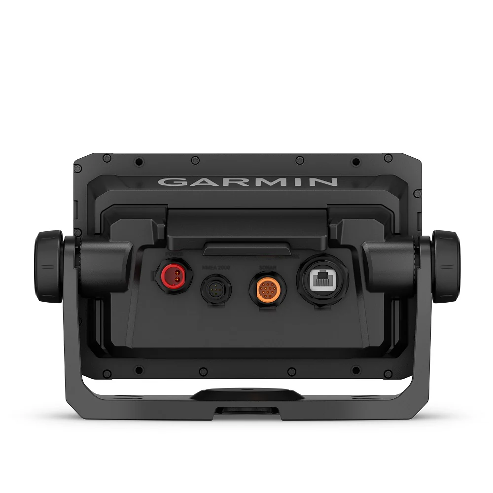
| TRANSDUCER PIN NUMBERS | 12-pin (orange) |
| NMEA 0183 INPUT PORTS | 1 (Differential) |
| NMEA 0183 OUTPUT PORTS | 1 (Differential) |
| WIRELESS CONNECTIVITY | Yes |
| J1939 COMPATIBLE | Yes |
Original: $1,774.78
-65%$1,774.78
$621.17Product Information
Product Information
Shipping & Returns
Shipping & Returns
Description
Garmin GPSMAP 923XSV SideVu ClearVu and Traditional CHIRP Sonar With World Basemap
The Garmin GPSMAP 923XSV Charplotter features full HD in-plane switching (IPS) touchscreen display for wider viewing angles, superior clarity and sunlight readability. Engine integration with J939 and OneHelm for full vessel integration, including Empirbus digital switching.
With an additional 50% more display pixels and nearly double processing power compared to the previous Garmin 9 Inch Chartplotter generation, this high-resolution chartplotter is the ultimate addition to your Garmin marine system.
Garmin 923XSV Chartplotter Features
- Easily integrate with more engines
- Connect to compatible third-party devices with OneHelm™ digital switching
- Easily build your marine system using the best network connectivity
- Navigate any waters with preloaded mapping and coastal charts
- See below your boat with built-in sonar capabilities
- Manage your marine experience from nearly anywhere
In The Box
- GPSMAP 923xsv chartplotter
- microSD™ card preinstalled
- Power cable
- NMEA 2000® T-connector
- NMEA 2000 drop cable (2 metres)
- 8-pin transducer to 12-pin sounder adapter cable
- Bail mount kit with knobs
- Flush mount kit with gasket
- Protective cover
- Trim piece snap covers
- Documentation
Ultra High-Definition Scanning Sonar
Get built-in Ultra High-Definition SideVü and ClearVü scanning sonars with vivid, high-contrast colour palettes to help distinguish fish from structure. GPSMAP® 1223xsv also supports 1 kW CHIRP traditional sonar capabilities.
Panoptix Sonar Support
Pair with Panoptix or Panoptix LiveScope™ easy-to-interpret live sonar (transducer sold separately) to see all around your boat in real time.
Faster, Smarter, Sharper
With its added processing power and new slimline design featuring edge-to-edge glass and a smaller unit footprint, it’s easy to retrofit this 9-inch plotter in a wider range of dash configurations.
Improved Display Optics
New higher-resolution 9-inch displays offer improved sunlight readability with 50% more pixels than previous-generation 9-inch GPSMAP devices.
Garmin Sailassist™ Sailing Features
View laylines, race start line guidance, enhanced wind rose, heading and course-over-ground lines, true wind data fields and tide/current/time slider, wind angle, set and drift, wind speed and more.
Optional Bluechart G3 Vision Charts
These optional charts offer the best of Garmin and Navionics® data, Auto Guidance technology and other premium navigation features.
Optional Radar Bundle
To help you avoid weather and traffic on the water, the compact 4 kW GMR™ 18 HD+ dome radar is available as a bundled option with your GPSMAP chartplotter/sonar package.
Improved Garmin Network Connectivity
If you have multiple compatible Garmin devices on your boat, you can share information — such as maps, user data, radar and IP camera video — among them.
NMEA 2000 and NMEA 0183 Networks
Connect to compatible autopilots, digital switching, weather, Fusion-Link™ audio system, media, VHF, AIS and more from one screen.
Activecaptain APP
Built-in Wi-Fi® connectivity pairs with the free all-in-one mobile app for access to the OneChart™ feature, smart notifications, software updates, Garmin Helm™ digital switching, Garmin Quickdraw™ Community data and more.
Integrated ANT Technology
Now you can connect your chartplotter to different kinds of engines, including select Yamaha engines.
Onehelm Feature
This exclusive feature brings together all the operations and capabilities of select third-party devices, such as EmpirBus™ digital switching, on one screen.
General Information
| PHYSICAL DIMENSIONS | 9.2" x 6.4" x 3" (23.3 x 16.2 x 7.6 cm) |
|---|---|
| DISPLAY SIZE | 7.8" x 4.4"; 9.0" diagonal (19.9 x 11.2 cm; 22.9 cm diagonal) |
| DISPLAY RESOLUTION | 1280 x 720 pixels |
| DISPLAY TYPE | WSVGA display |
| WEIGHT | 3.6 lbs (1.6 kg) |
| WATER RATING | IPX7 |
| MOUNTING OPTIONS | Bail, flush or flat |
| POLARISED SUPPORT | YES |
| POWER CONSUMPTION | Max power usage at 10 Vdc: 22 W Typical current draw at 12 Vdc: 1.3 A Max current draw at 12 Vdc: 1.8 A |
| ANTENNA | Internal or external over NMEA 2000 |
| RECEIVER | 10 Hz high-sensitivity |
| GARMIN MARINE NETWORK™ PORTS | 1 |
Maps & Memory
| PRELOADED MAPS | Worldwide basemap |
|---|---|
| ACCEPTS DATA CARDS | 2 microSD™ cards (back of unit) |
| WAYPOINTS | 5,000 |
| TRACK LOG | 50.000 Points; 50 Saved tracks |
| ROUTES | 100 |
Garming GPSMAP 923XSV Chartplotter Features
| GARMIN RADAR COMPATIBLE | YES | |
|---|---|---|
| GARMIN SONAR COMPATIBLE | YES (built-in) | |
| GARMIN SMARTMODE COMPATIBLE (CUSTOMISABLE MONITOR PRESETS) | YES | |
| SUPPORTS AIS (TRACKS TARGET SHIPS POSITION) | YES | |
| SUPPORTS DSC (DISPLAYS POSITION DATA FROM DSC-CAPABLE VHF RADIO) | YES | |
| SUPPORTS DSC (DISPLAYS POSITION DATA FROM DSC-CAPABLE VHF RADIO) | YES | |
| GSD™ BLACK BOX SONAR SUPPORT | YES | |
| GCV™ BLACK BOX SONAR SUPPORT | YES | |
| ACTIVECAPTAIN COMPATIBLE | YES | |
| WIRELESS REMOTE COMPATIBLE | YES |
Sonar features & specifications
| DUAL-FREQUENCY (50/200 KHZ) SONAR CAPABLE | Yes |
|---|---|
| DUAL-BEAM (77/200 KHZ) SONAR CAPABLE | Yes |
| FREQUENCIES SUPPORTED | Traditional: 50/77/83/200 kHz CHIRP (low, medium, high) ClearVü (260/455/800 kHz) SideVü (260/455/800 kHz) UHD ClearVü / SideVü (800/1000/1200kHz) (dependent on transducer) |
| CLEARVÜ | Yes with CHIRP (built-in) |
| MAXIMUM DEPTH | 5,000 ft at 1kW (depth capacity is dependent on water bottom type and other water conditions) |
| BOTTOM LOCK (SHOWS RETURN FROM THE BOTTOM UP) | Yes |
| WATER TEMPERATURE LOG AND GRAPH | Yes |
| SONAR RECORDING | Yes |
| SONAR HISTORY REWIND | Yes |
Connections
| NMEA 2000® COMPATIBLE | Yes |
|---|---|
| TRANSDUCER PIN NUMBERS | 12-pin (orange) |
| NMEA 0183 INPUT PORTS | 1 (Differential) |
| NMEA 0183 OUTPUT PORTS | 1 (Differential) |
| WIRELESS CONNECTIVITY | Yes |
| J1939 COMPATIBLE | Yes |