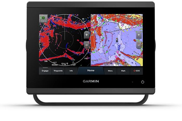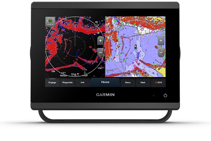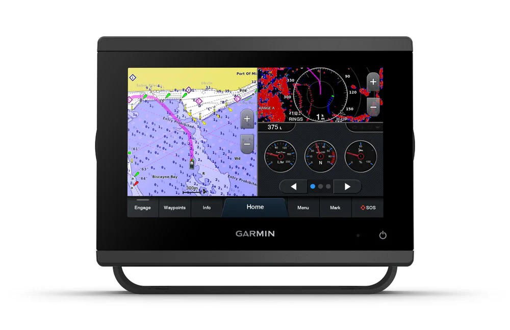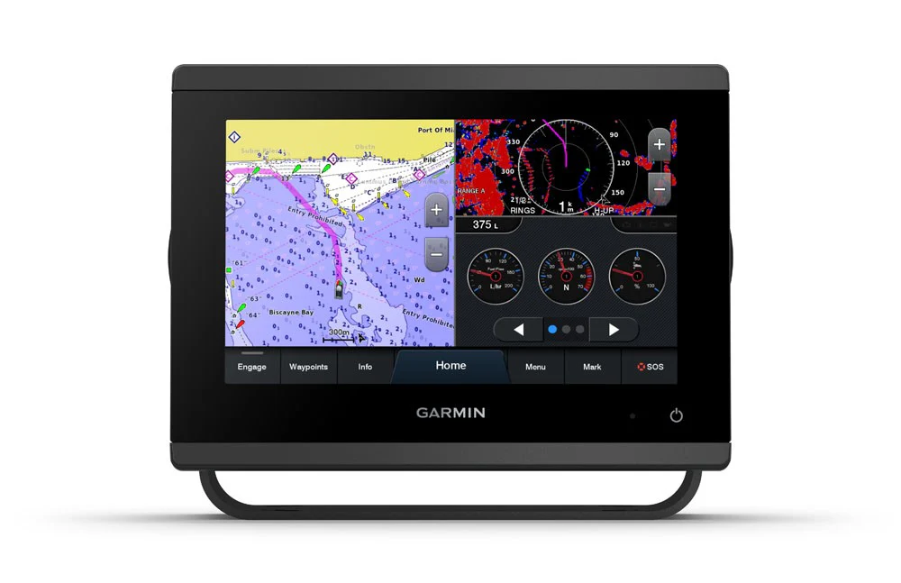
ECHOMAP™ Ultra 2 10" Chartplotter 102sv without Transducer
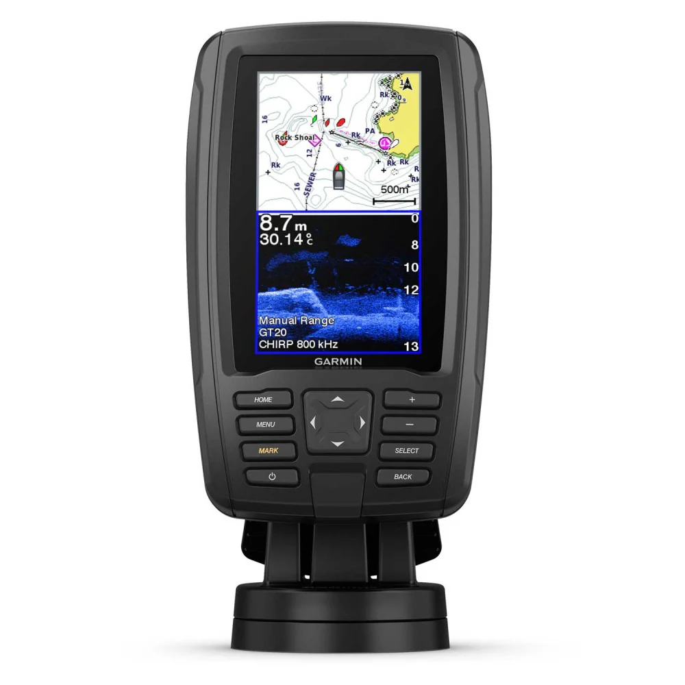
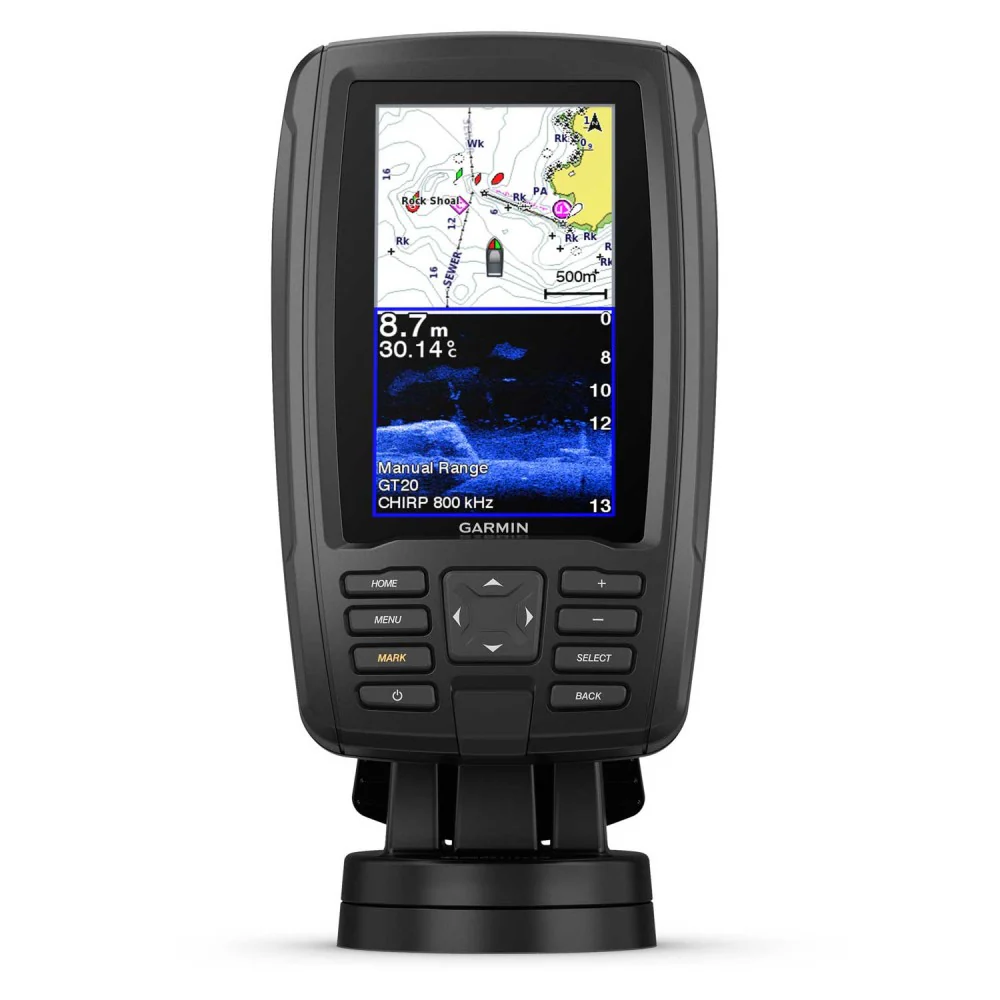
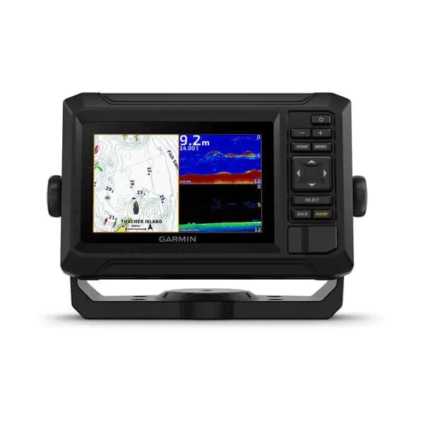
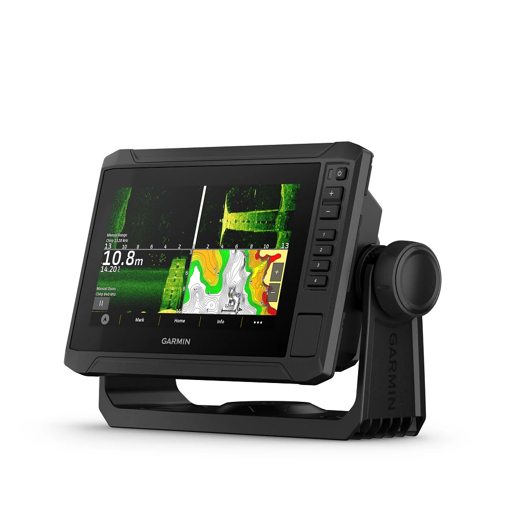
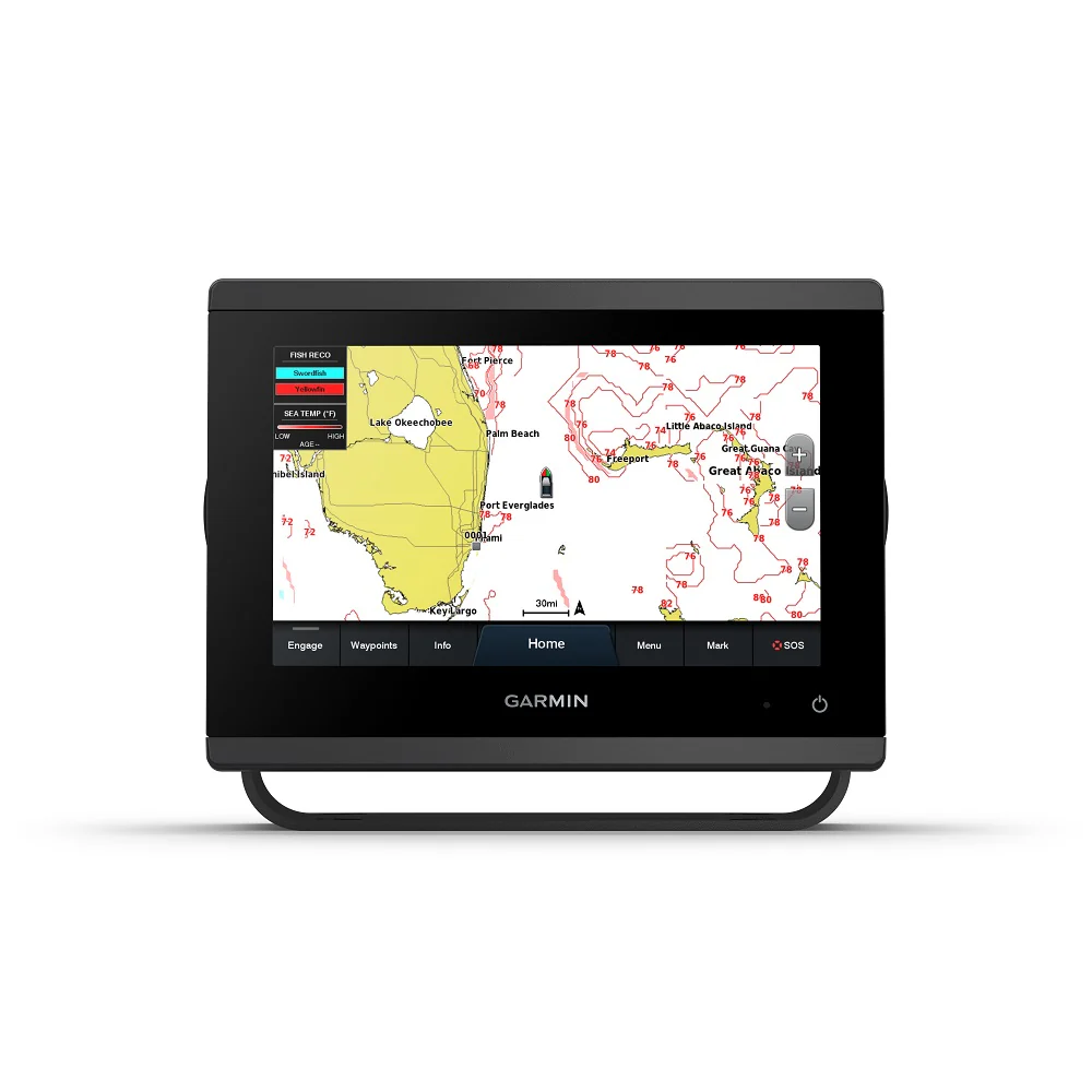
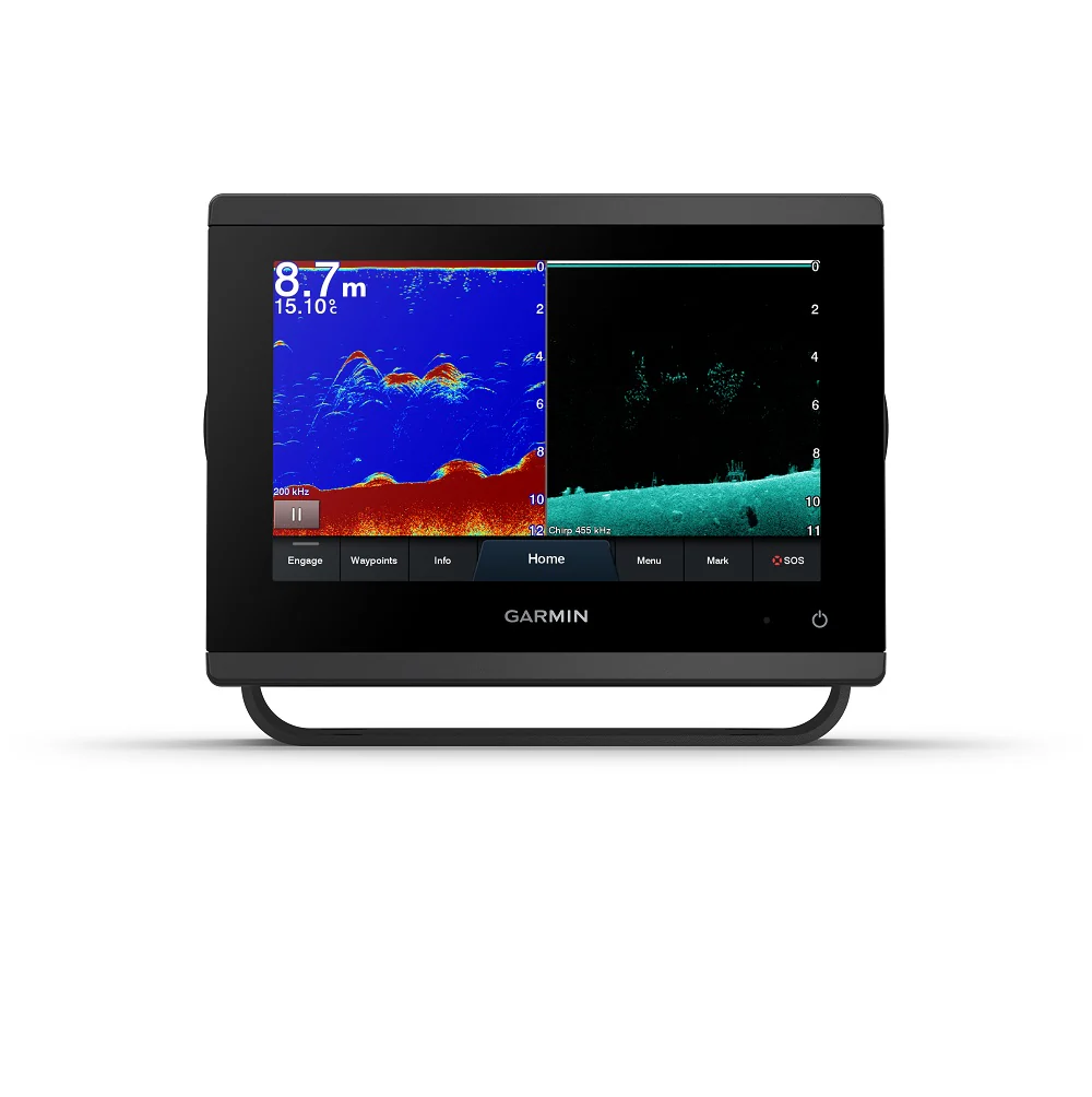
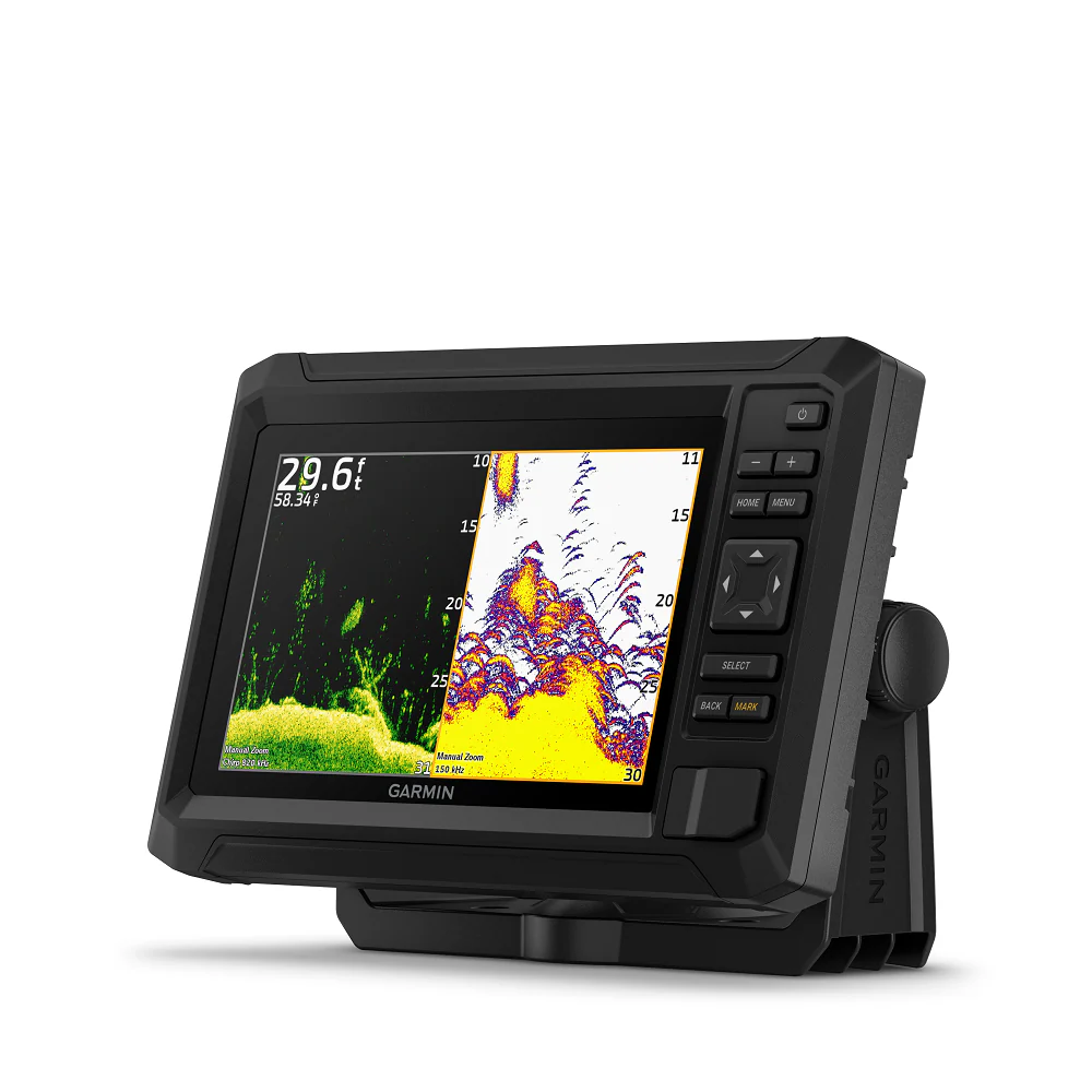
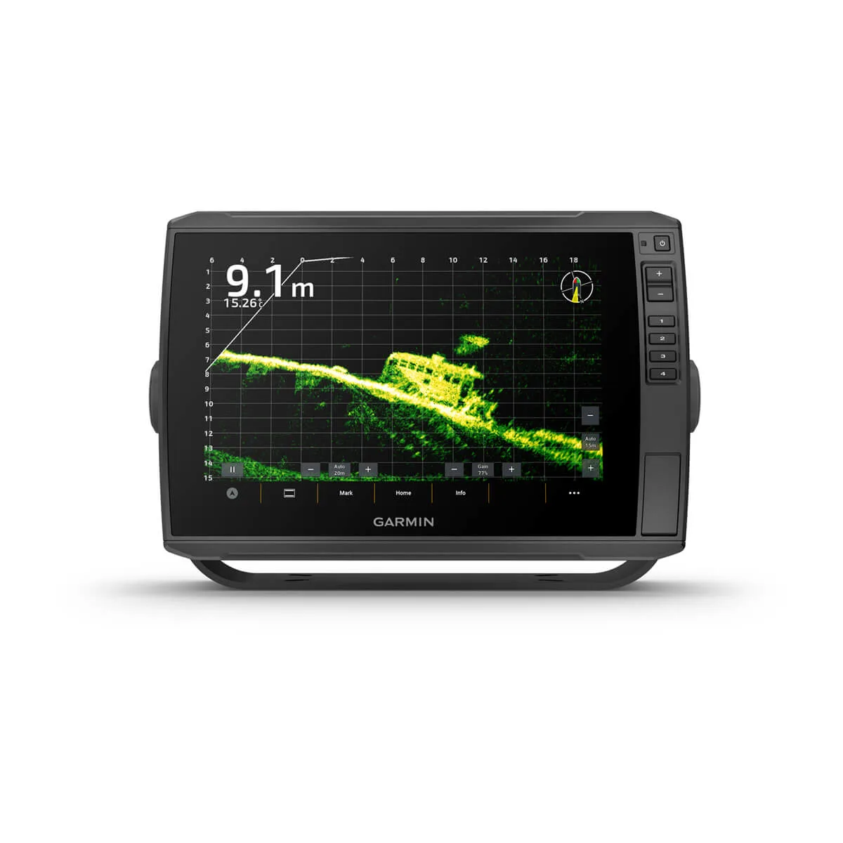
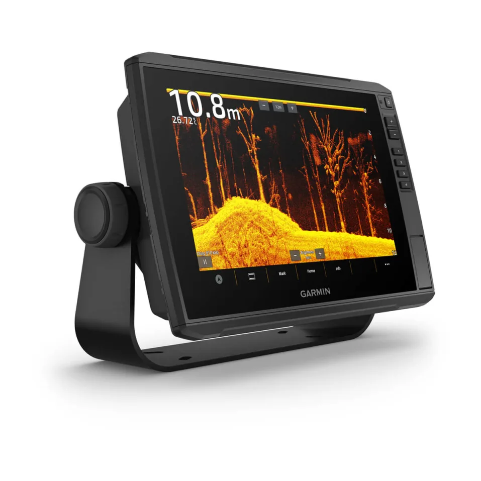
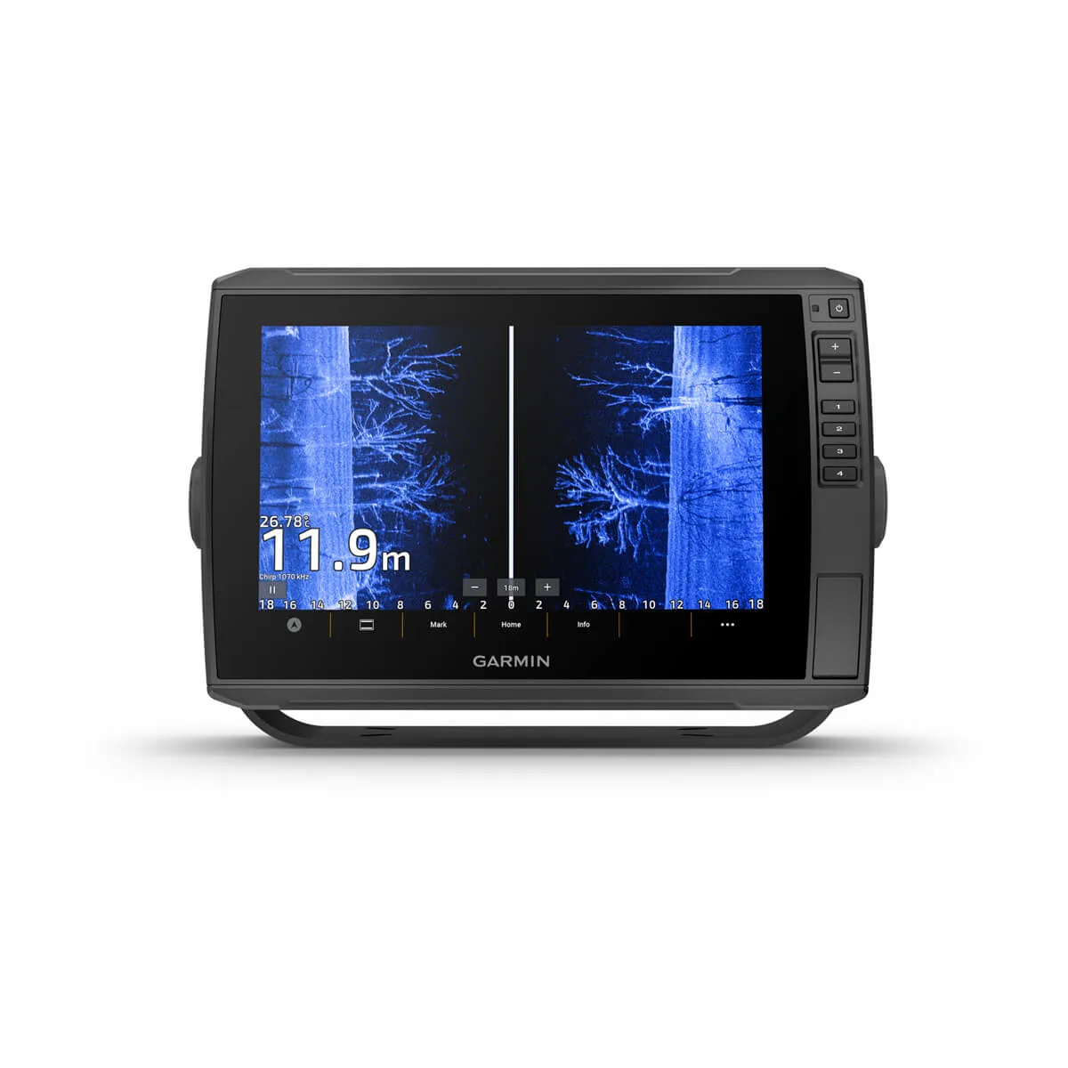
Maximize your time on the water with the ECHOMAP™ Ultra 2 chartplotter. Offering all the built-in tools you need to find and catch fish, this version features a 10” touchscreen with keyed assist, in-plane switching display and available preloaded Garmin Navionics+™ maps. Plus, there’s support for the full line of LiveScope™ sonars as well as Ultra High-Definition ClearVü™ and SideVü™ scanning sonars and Garmin CHIRP traditional sonar (sold separately). It includes Quickdraw Contours software and supports Garmin Navionics+ and premium Garmin Navionics Vision+™ mapping with relief shading plus Auto Guidance+™ technology (for planning purposes only; does not replace safe navigation operations). With a wireless connection to your Force® trolling motor, it lets you create and follow routes, navigate to waypoints, control speed, check battery life and more.
· Multi-band GPS technology with fast 10 Hz updates not only gives improved position accuracy, it also delivers improved signal reception, particularly in areas where signals are reflected or weak
· Offers NMEA 2000® network support for autopilot, FUSION-Link™ audio system, engine data and digital switching
· Wireless connectivity with Force® trolling motors offers boat control features from the chartplotter; create and follow routes, navigate to waypoints, control speed, check battery life and more
· Use the screen recording feature through the ActiveCaptain® app on your compatible smartphone to capture what you see on the chartplotter so you can save and share your fish catches (including LiveScope™ sonar, if installed)
· Built-in Quickdraw Contours mapping software creates personalized fishing maps on-screen with 1’ contours as you fish
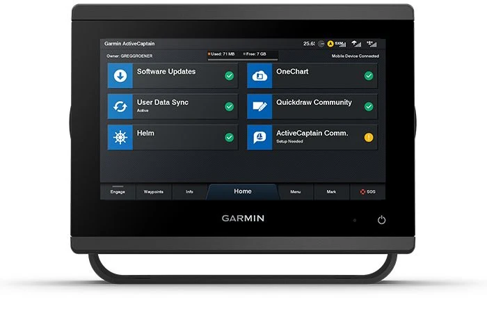
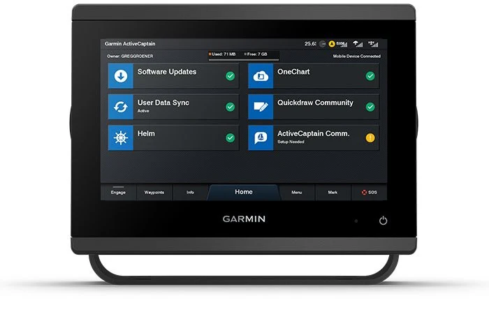
· Built-in Wi-Fi® connectivity pairs with the free ActiveCaptain® app on your compatible smartphone for access to the OneChart™ feature to purchase and download new charts; also receive access to daily chart updates, smart notifications, software updates, Garmin Quickdraw™ Community data and more
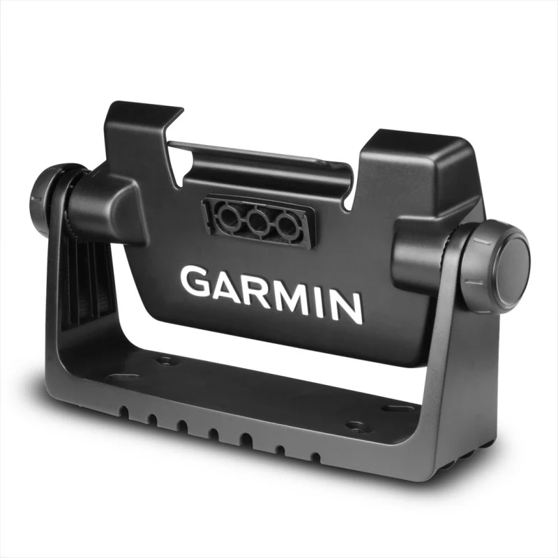
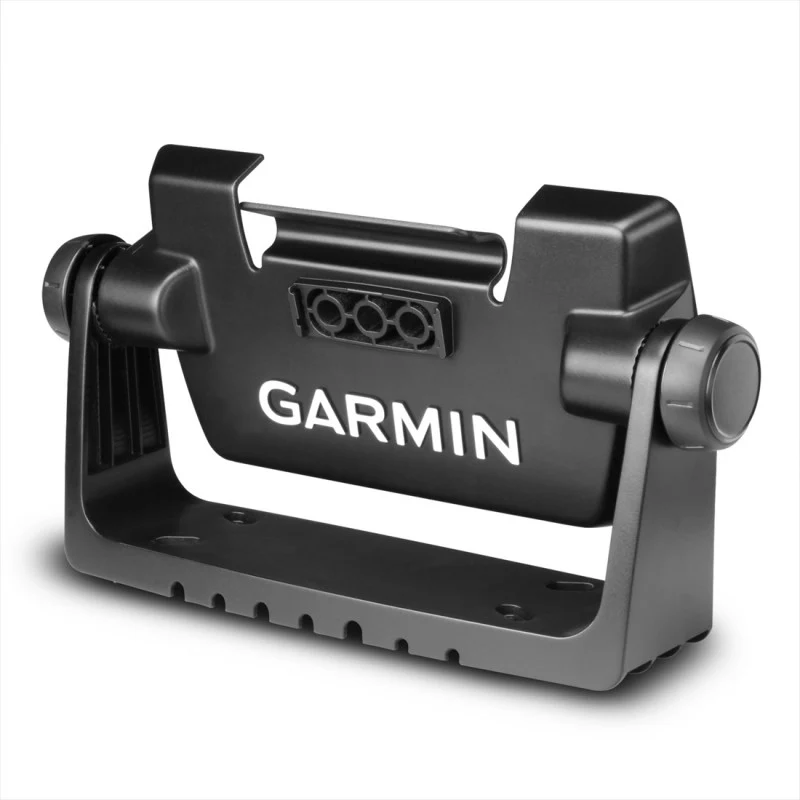
- Quick-release mount for fast and easy mobility
- Dimension 29.5 x 19.5 x 9.8 cm (11.6″ x 7.7″ x 3.9″)
- Weight 1.8 kg (4 lbs)
- Water rating IPX7
- Touchscreen
- Display Type WXGA, IPS
- Display Size 21.7 x 13.6 cm; 21.7 cm diagonal (8.5″ x 5.4″; 10″ diagonal)
- Display Resolution 1280 x 800 pixels
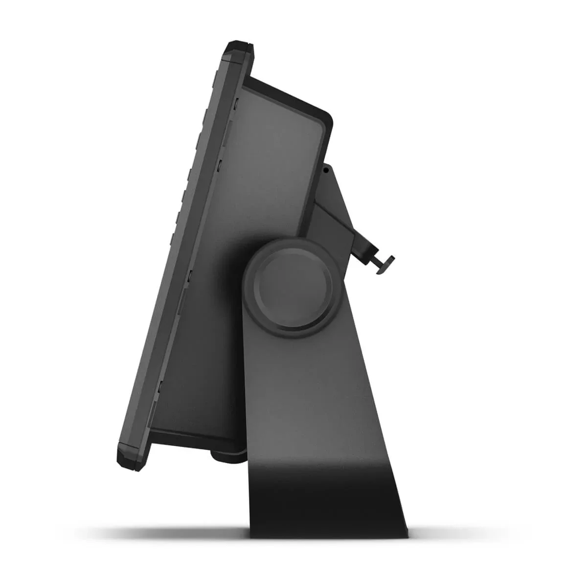
- Mounting Options Bail or flush
- Input Touchscreen with Keyed Assist
- Maps & memory
- Accepts Data Cards 2 microSD Cards
- Waypoints 5000
- Track points 50,000
- Tracks 50 saved tracks
- Navigation Routes 100
- Sensors
- GPS GLONASS Galileo BeiDou
- Has built-in receiver
- Receiver 10 Hz
- NMEA 2000® compatible
- Supports WAAS
- Supports multi-band, multi-constellation GPS
- Optional map support
- BlueChart g3 BlueChart g3 Vision Garmin Navionics+™ Garmin Navionics Vision+™
- TOPO 100K
- Standard Mapping
- Garmin Quickdraw Contours
- Chartplotter features
- AIS DSC
- Supports Fusion-Link™ compatible radios
- ActiveCaptain Mobile Planning Compatible
- Sailing features
- Electrical features
- Power Input 9 to 18 Vdc
- Typical current draw at 12 Vdc 2.3 A
- Maximum current draw at 12 Vdc 5 A
- Maximum power usage at 10 Vdc 34 W
- Sonar features & specifications
- Displays sonar
- Power output 600 W
- Traditional sonar (dual frequency/beam) built-in (single channel
- CHIRP, 70/83/200 kHz, L, M, H CHIRP)
- ClearVü Built-in 260/455/800/1000/1200 kHz
- SideVü Built-in 260/455/800/1000/1200 kHz
- Panoptix™ sonar
- LiveScope
- Connections
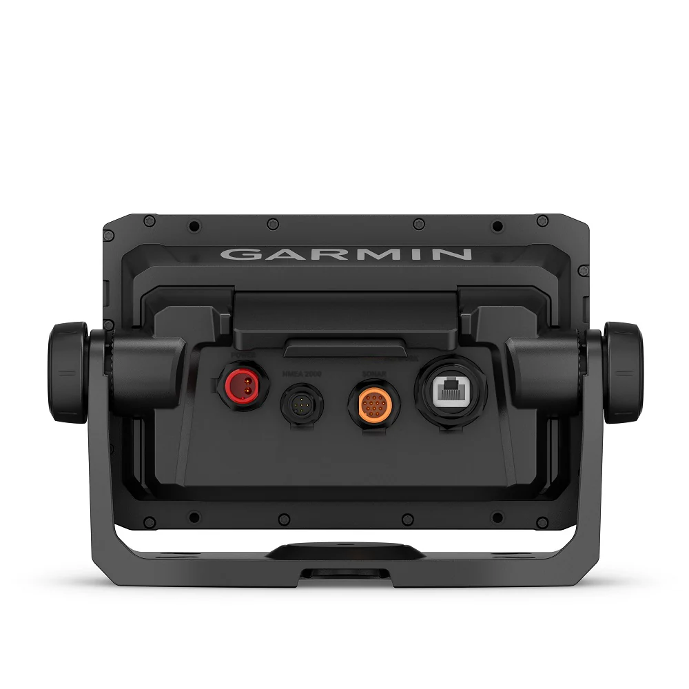
- NMEA 2000® ports 1
- Garmin Marine Network Ports 2 (large connector)
- 12-pin transducer ports 12-pin scanning sonar
- ANT+ (Connectivity)
- Garmin Wi-Fi network (local connection)
Product Information
Product Information
Shipping & Returns
Shipping & Returns
Description
Maximize your time on the water with the ECHOMAP™ Ultra 2 chartplotter. Offering all the built-in tools you need to find and catch fish, this version features a 10” touchscreen with keyed assist, in-plane switching display and available preloaded Garmin Navionics+™ maps. Plus, there’s support for the full line of LiveScope™ sonars as well as Ultra High-Definition ClearVü™ and SideVü™ scanning sonars and Garmin CHIRP traditional sonar (sold separately). It includes Quickdraw Contours software and supports Garmin Navionics+ and premium Garmin Navionics Vision+™ mapping with relief shading plus Auto Guidance+™ technology (for planning purposes only; does not replace safe navigation operations). With a wireless connection to your Force® trolling motor, it lets you create and follow routes, navigate to waypoints, control speed, check battery life and more.
· Multi-band GPS technology with fast 10 Hz updates not only gives improved position accuracy, it also delivers improved signal reception, particularly in areas where signals are reflected or weak
· Offers NMEA 2000® network support for autopilot, FUSION-Link™ audio system, engine data and digital switching
· Wireless connectivity with Force® trolling motors offers boat control features from the chartplotter; create and follow routes, navigate to waypoints, control speed, check battery life and more
· Use the screen recording feature through the ActiveCaptain® app on your compatible smartphone to capture what you see on the chartplotter so you can save and share your fish catches (including LiveScope™ sonar, if installed)
· Built-in Quickdraw Contours mapping software creates personalized fishing maps on-screen with 1’ contours as you fish
· Built-in Wi-Fi® connectivity pairs with the free ActiveCaptain® app on your compatible smartphone for access to the OneChart™ feature to purchase and download new charts; also receive access to daily chart updates, smart notifications, software updates, Garmin Quickdraw™ Community data and more
- Quick-release mount for fast and easy mobility
- Dimension 29.5 x 19.5 x 9.8 cm (11.6″ x 7.7″ x 3.9″)
- Weight 1.8 kg (4 lbs)
- Water rating IPX7
- Touchscreen
- Display Type WXGA, IPS
- Display Size 21.7 x 13.6 cm; 21.7 cm diagonal (8.5″ x 5.4″; 10″ diagonal)
- Display Resolution 1280 x 800 pixels
- Mounting Options Bail or flush
- Input Touchscreen with Keyed Assist
- Maps & memory
- Accepts Data Cards 2 microSD Cards
- Waypoints 5000
- Track points 50,000
- Tracks 50 saved tracks
- Navigation Routes 100
- Sensors
- GPS GLONASS Galileo BeiDou
- Has built-in receiver
- Receiver 10 Hz
- NMEA 2000® compatible
- Supports WAAS
- Supports multi-band, multi-constellation GPS
- Optional map support
- BlueChart g3 BlueChart g3 Vision Garmin Navionics+™ Garmin Navionics Vision+™
- TOPO 100K
- Standard Mapping
- Garmin Quickdraw Contours
- Chartplotter features
- AIS DSC
- Supports Fusion-Link™ compatible radios
- ActiveCaptain Mobile Planning Compatible
- Sailing features
- Electrical features
- Power Input 9 to 18 Vdc
- Typical current draw at 12 Vdc 2.3 A
- Maximum current draw at 12 Vdc 5 A
- Maximum power usage at 10 Vdc 34 W
- Sonar features & specifications
- Displays sonar
- Power output 600 W
- Traditional sonar (dual frequency/beam) built-in (single channel
- CHIRP, 70/83/200 kHz, L, M, H CHIRP)
- ClearVü Built-in 260/455/800/1000/1200 kHz
- SideVü Built-in 260/455/800/1000/1200 kHz
- Panoptix™ sonar
- LiveScope
- Connections
- NMEA 2000® ports 1
- Garmin Marine Network Ports 2 (large connector)
- 12-pin transducer ports 12-pin scanning sonar
- ANT+ (Connectivity)
- Garmin Wi-Fi network (local connection)