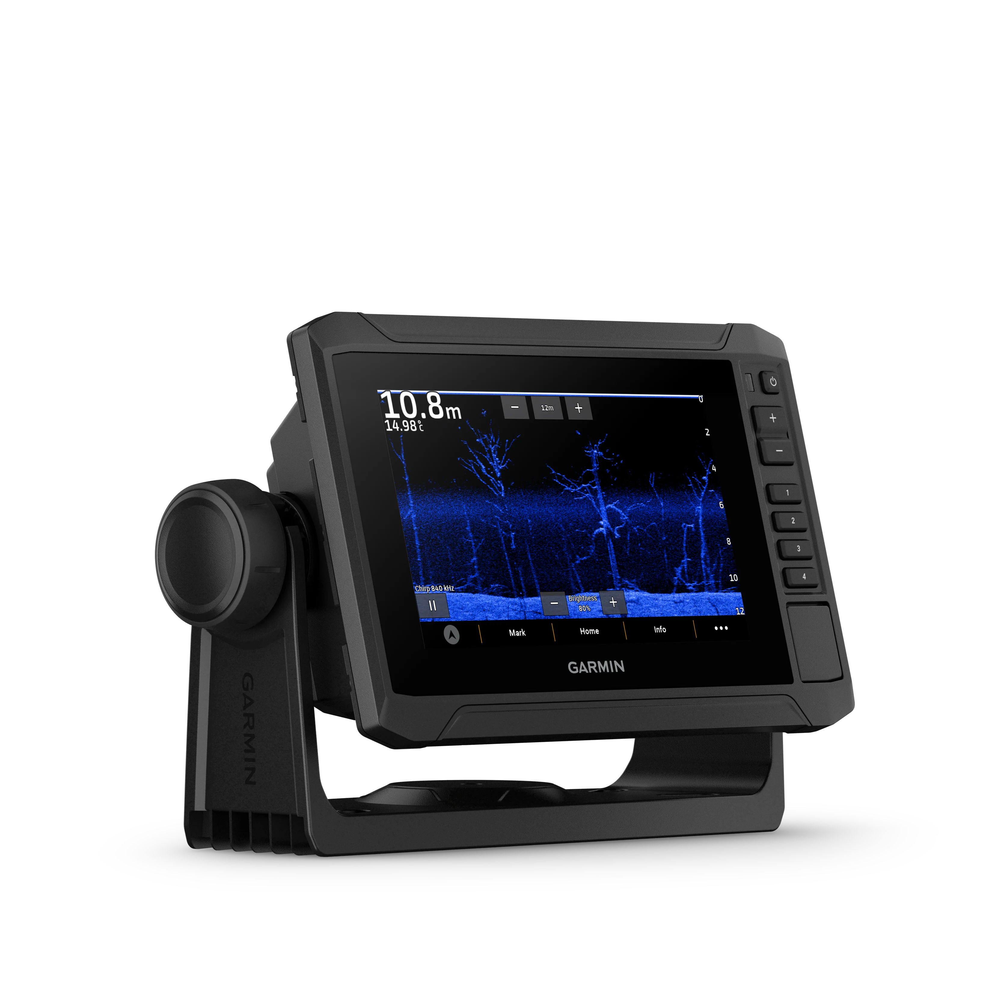
Garmin ECHOMAP™ UHD2 6" Chartplotters, 65sv without Transducer
Garmin ECHOMAP™ UHD2 6" Chartplotters, 65sv without Transducer
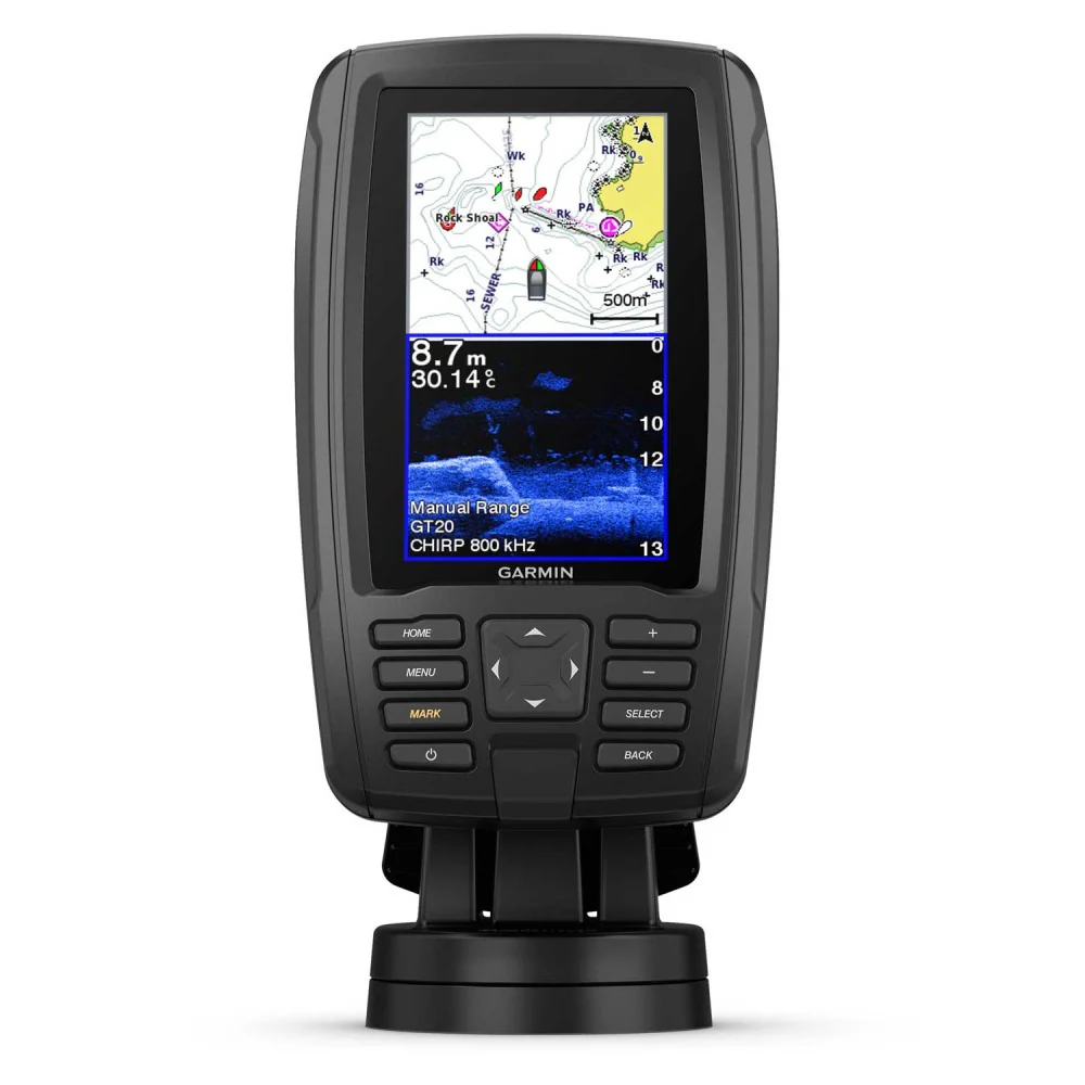
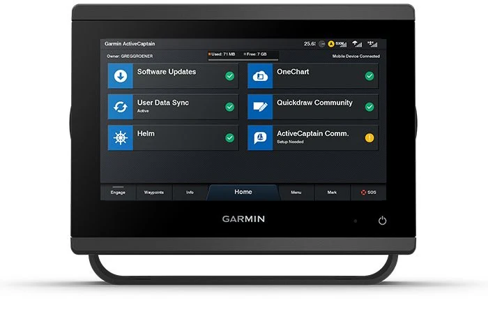
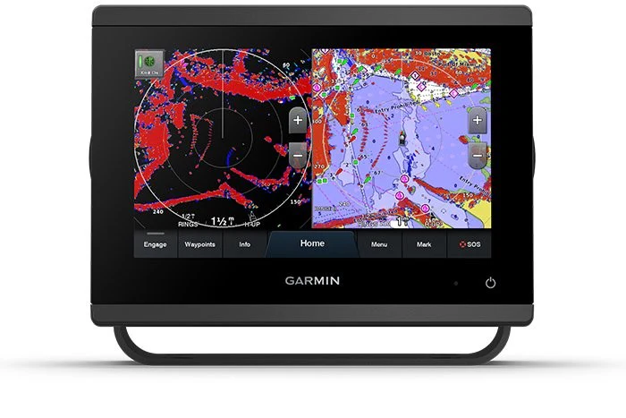
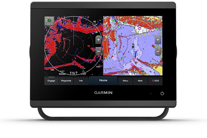
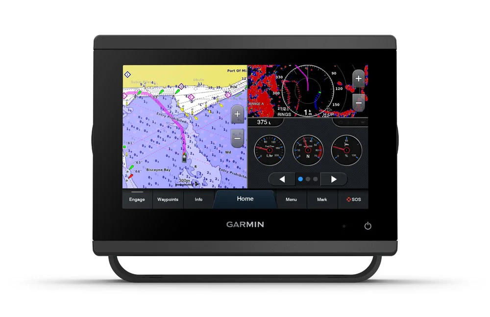
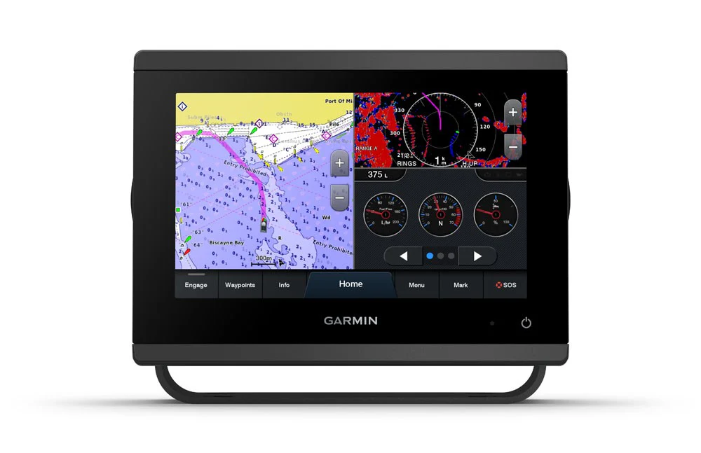
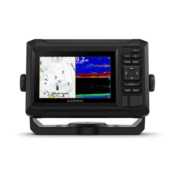
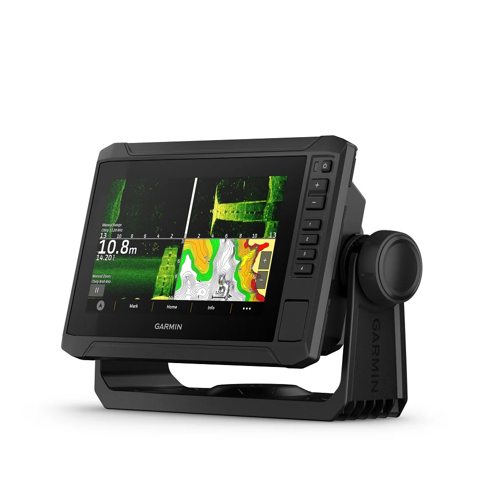
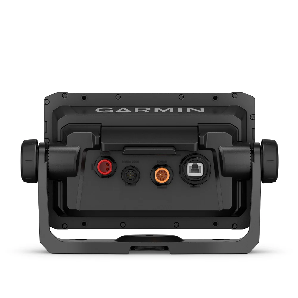
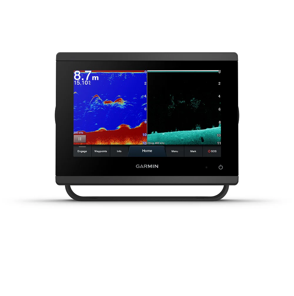
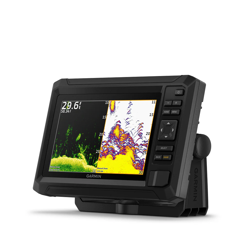
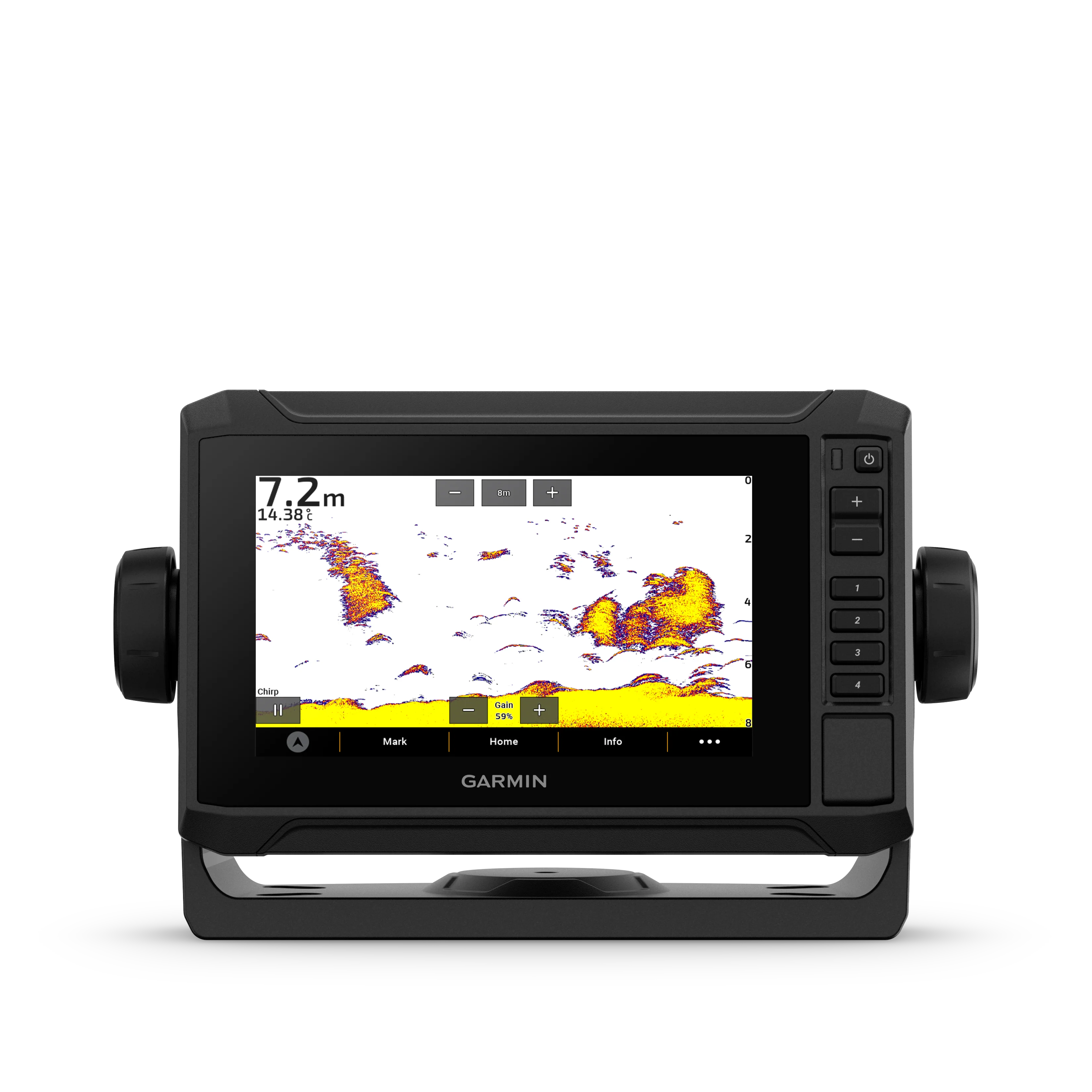
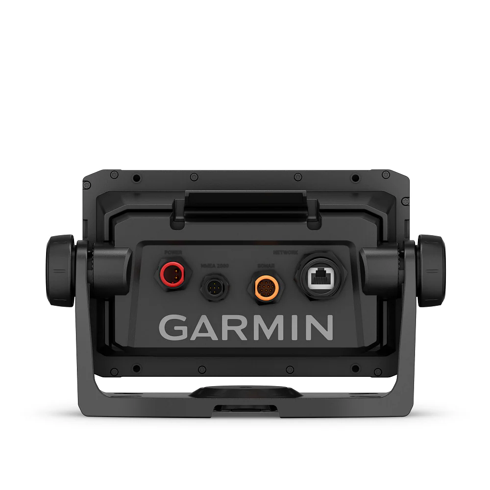
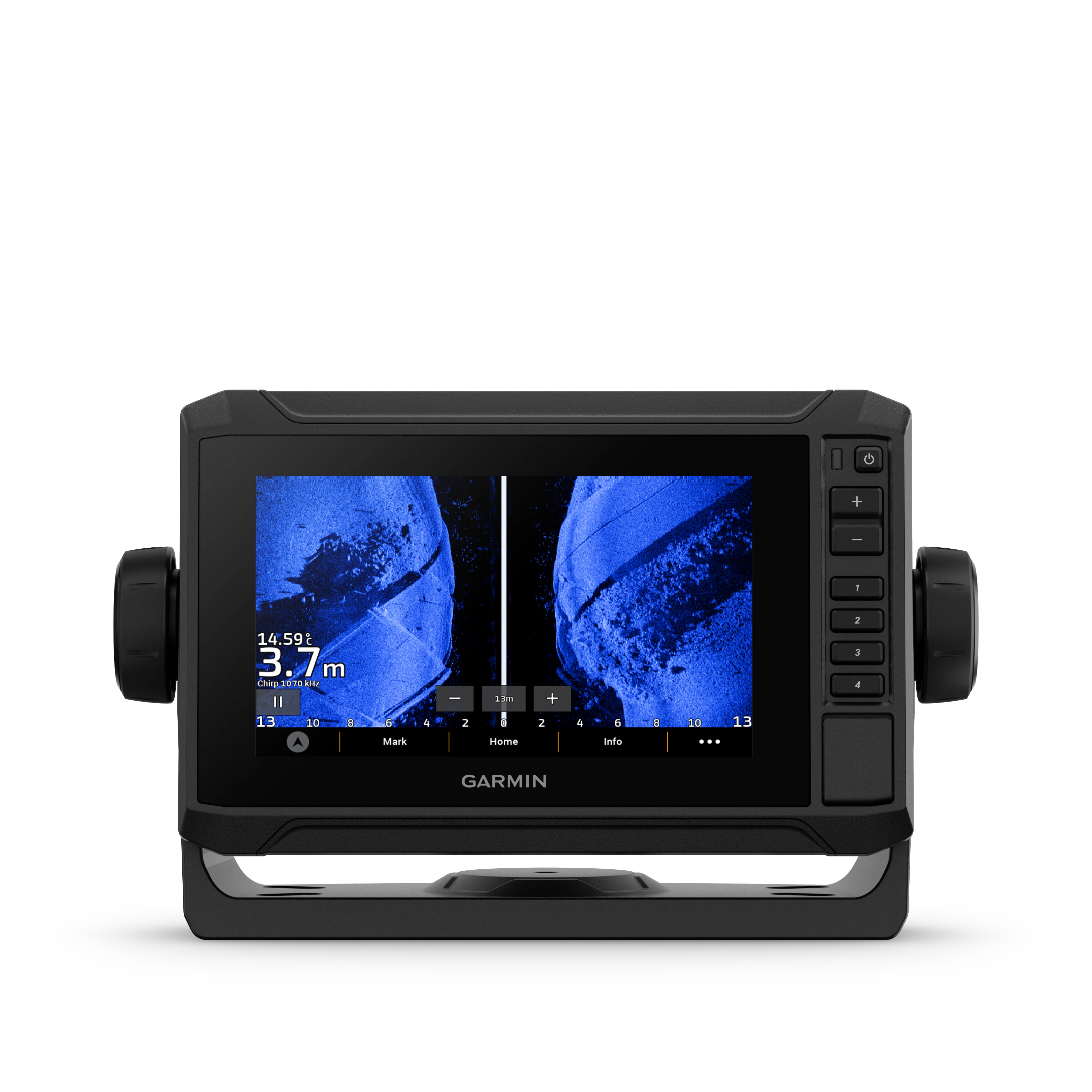
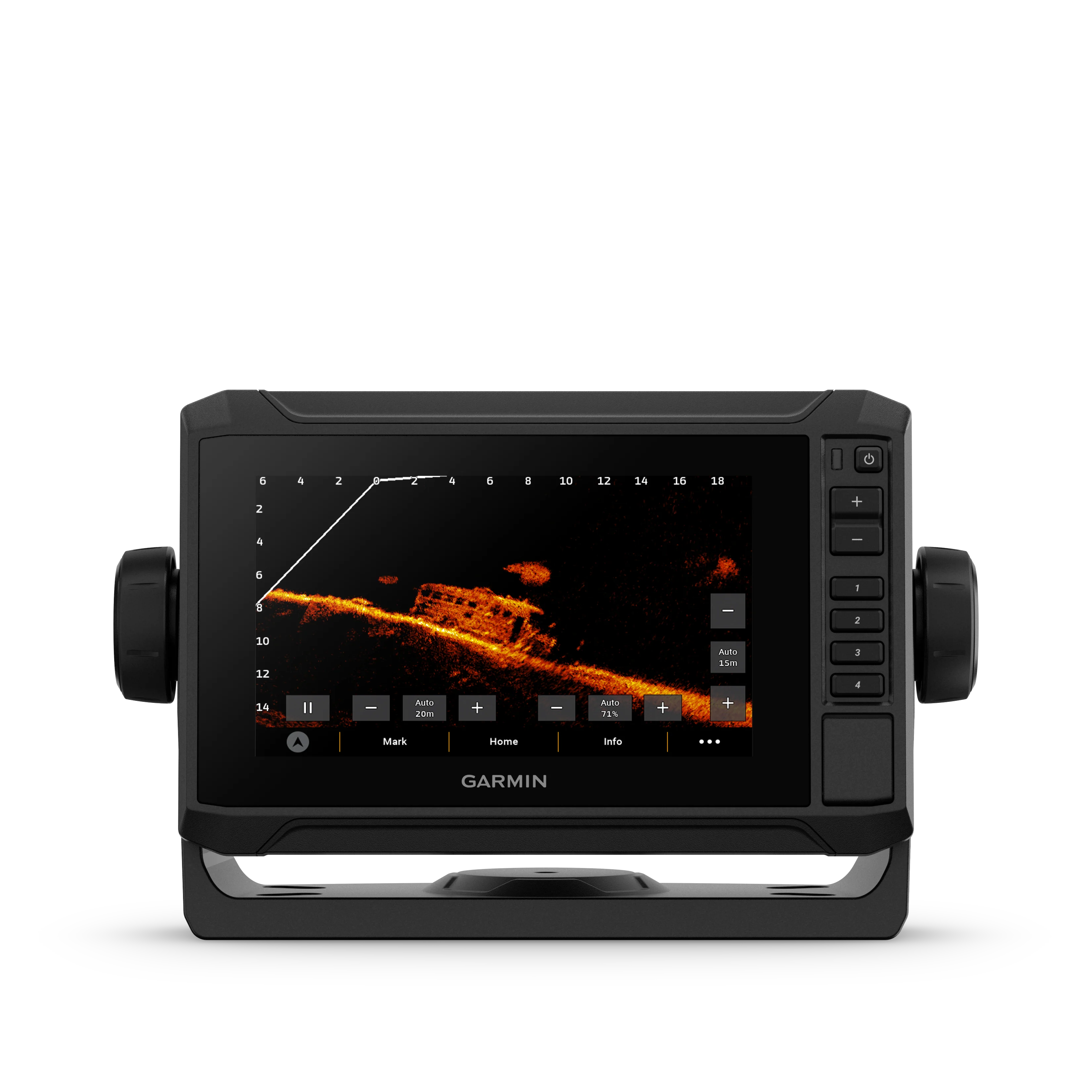
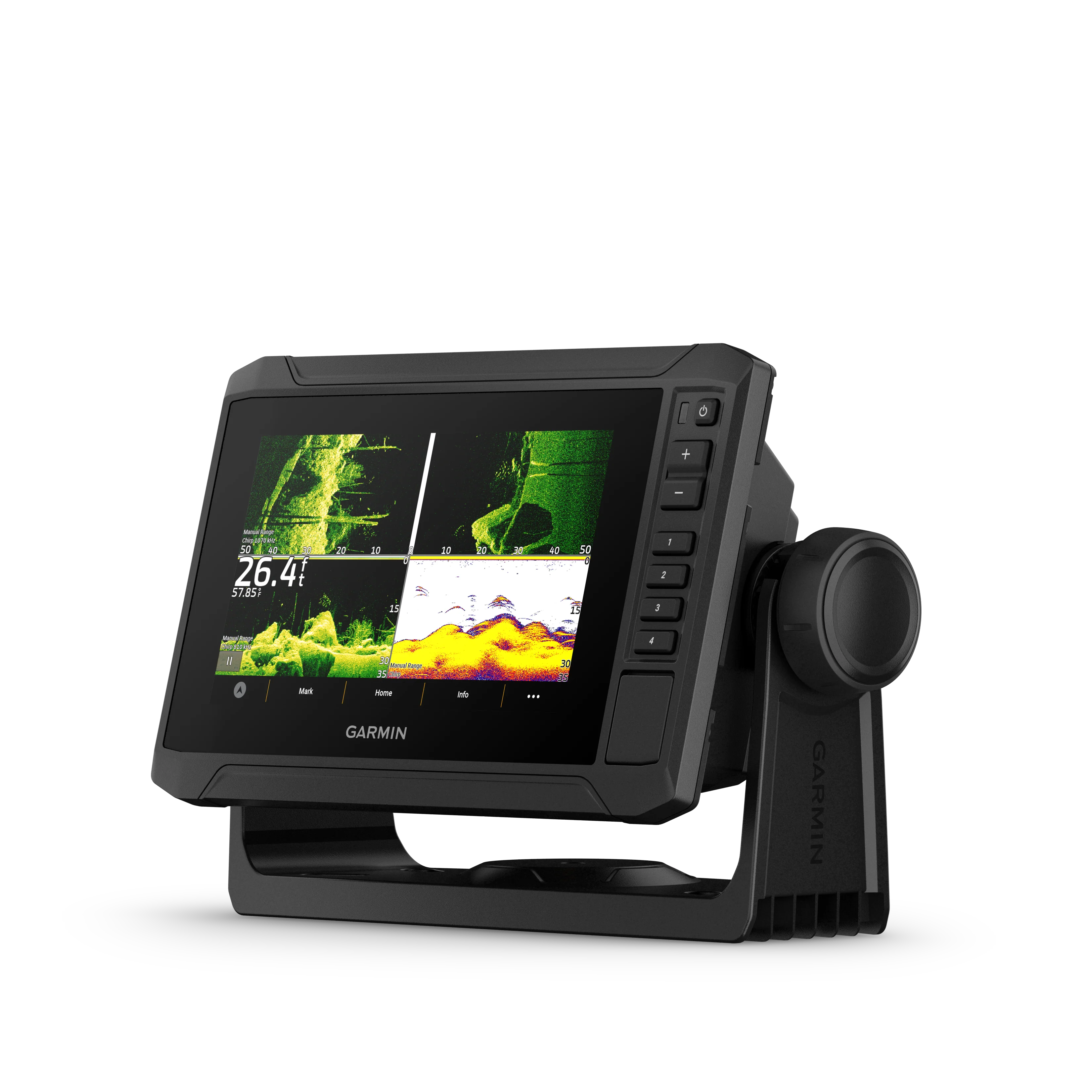
The 6” ECHOMAP™ UHD2 touchscreen with keyed-assist chartplotter knows the water better than a local. See clear, sharp fish arches with Garmin traditional sonar. ClearVü™ and SideVü™ scanning sonars feature vivid color palettes for clear, high-contrast views all around your boat. ECHOMAP UHD2 also supports LiveScope™ sonar systems. Navigate the waters with built-in Garmin Navionics+™ cartography. Built-in Wi-Fi® connectivity lets you wirelessly share sonar, waypoints and routes with another ECHOMAP UHD2 chartplotter. Wherever you drop your line, get improved position accuracy, particularly in areas where signals are reflected or weak, with multi-band GPS. You can also pair with the free all-in-one ActiveCaptain® app on your compatible smartphone for access to the OneChart™ feature, software updates and more. The chartplotter supports NMEA 2000® networks to connect your compatible autopilots, digital switching, music, and more to view all on one screen.
In The Box
- ECHOMAP UHD2 (device varies depending on selection)
- 12-pin sounder to 8-pin transducer cable
- Power cable
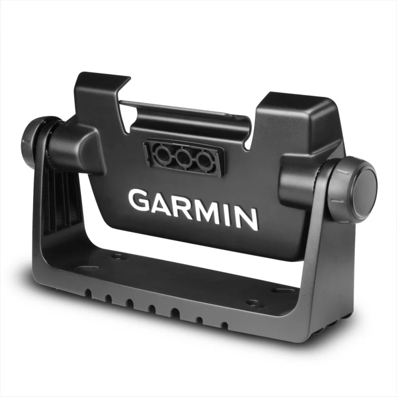
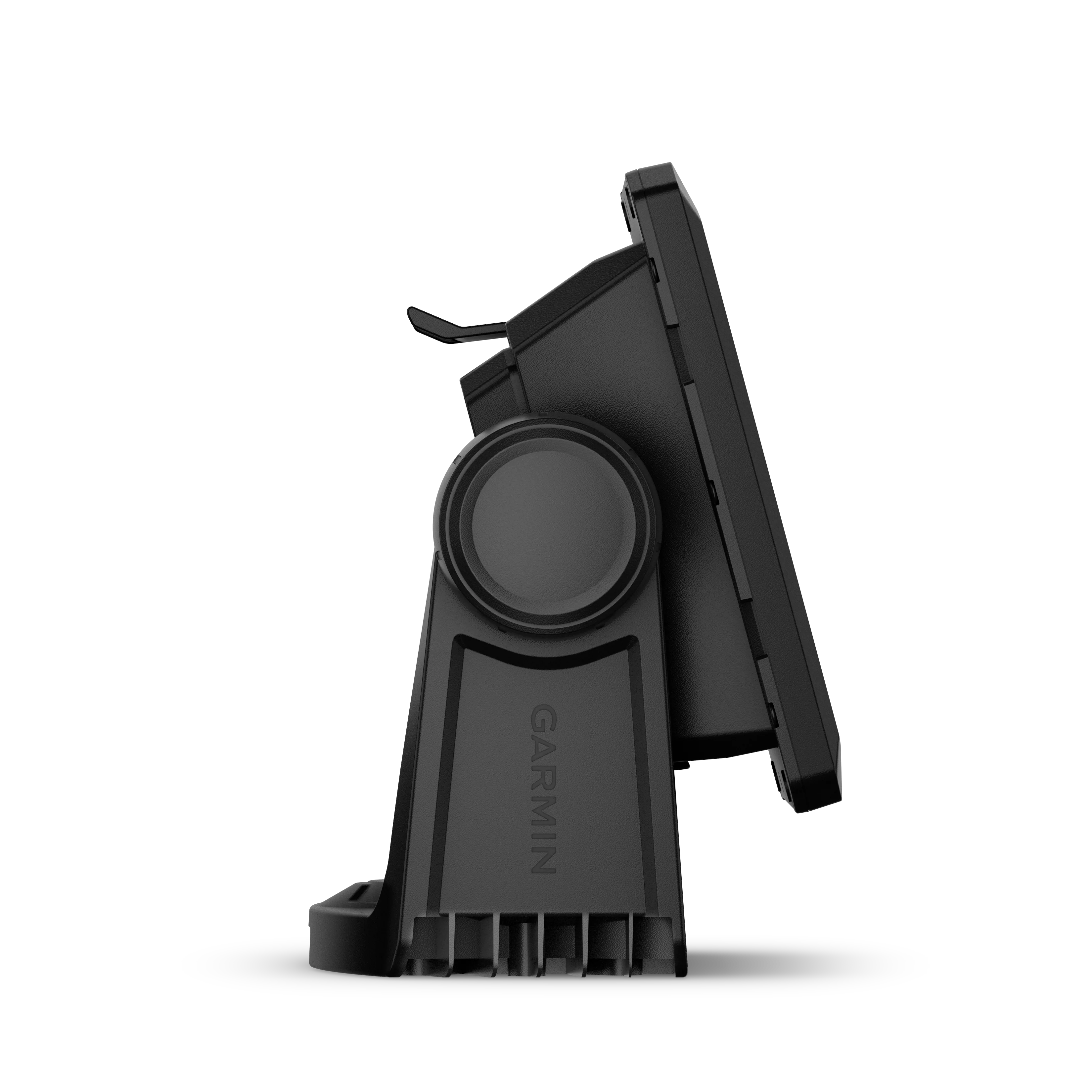
- Tilt/swivel mount with quick release cradle
- Protective cover
- Hardware
- Documentation
| Display Size | 5.4″ x 3.1″, 6.2″ (13.8 x 7.8 cm, 15.7 cm) |
| Power Input | 9 to 18 Vdc |
| Display Resolution | 800 x 480 pixels |
| GPS | Yes |
| Dimension | 8.1″ x 5.2″ x 2.6″ (20.6 x 13.1 x 6.7 cm) |
| Receiver | 10 Hz |
| Waterproof | IPX7 |
| Weight | 1.8 lbs (0.8 kg) |
| Mounting Options | Bail or flush |
| Display Type | WVGA, TN |
Maps & Navigation
| Garmin Navionics+™ (Coastal) | Yes (see Additional) |
| Garmin Navionics Vision+™ | Yes |
| Accepts Data Cards | 1 microSD™ card; 32 GB maximum size |
| Garmin Navionics+ Inland & Coastal | Yes (see Additional) |
| Garmin Navionics+ (Inland) | Yes (see Additional) |
| Navigation Routes | 100 |
| Garmin Navionics+™ | Yes |
Features
| Waypoints | 5,000 |
| Sailing features | Yes |
| NMEA 0183 Compatible | No |
| Has built-in receiver | Yes |
| USB ports | No |
| TOPO 100K | Yes |
| SideVü | Built-in 260/455/800/1000/1200 kHz |
| DSC | Yes |
| Touchscreen | Yes |
| Additional |
|
| LakeVü g3 Ultra | Yes |
| NMEA 2000® compatible | Yes |
| ActiveCaptain Mobile Planning Compatible | yes |
| Typical current draw at 12 Vdc | 1.53 A |
| NMEA 2000® ports | yes |
| Tide tables | Yes (see Additional) |
| GLONASS | Yes |
| Track points | 50,000 |
| Panoptix™ sonar | Yes |
| Garmin Marine Network Ports | 1 |
| LakeVü g3 | Yes |
| Supports WAAS | Yes |
| GSD Black Box Sonar Support | No |
| Maximum current draw at 12 Vdc | 3.2 A |
| Garmin SmartMode compatible (customisable monitor presets) | No |
| Built-in Auto Guidance | No |
| Maximum power usage at 10 Vdc | 18.4 W |
| BlueChart g3 | Yes |
| Standard Mapping | Yes |
| LakeVu (inland) | No |
| Built-in Auto Guidance+ | Yes (downloadable via ActiveCaptain app) |
| Displays sonar | Yes |
| ANT+ (Connectivity) | Yes |
| GCV Black Box Sonar Support | No |
| BNC external GPS antenna port | No |
| Spoken audio alerts | No |
| BlueChart g3 Vision | Yes |
| Garmin Wi-Fi network (local connection) | Yes |
| Input | Touchscreen with Keyed Assist |
| BeiDou | Yes |
| Garmin Quickdraw Contours | Yes |
| Bluetooth® calling | Yes |
| AIS | Yes |
| Supports multi-band, multi-constellation GPS | Yes |
| Raster chart support | No |
| OneHelm support | No |
| ClearVü | Built-in 260/455/800/1000/1200 kHz |
| Tracks | 50 saved tracks |
| Wireless Remote Compatible | No |
| Supports Fusion-Link™ compatible radios | Yes |
| Galileo | Yes |
| LiveScope | Yes |
| Power output | 500 W |
| 12-pin transducer ports | 1 |
| BlueChart (coastal) | No |
| Traditional sonar (dual frequency/beam) | Built-in (single channel CHIRP, 50/77/83/200 kHz, L, M, H CHIRP) |
| GRID (Garmin Remote Input Device) compatible | No |
Original: $835.95
-65%$835.95
$292.58Product Information
Product Information
Shipping & Returns
Shipping & Returns
Description
Garmin ECHOMAP™ UHD2 6" Chartplotters, 65sv without Transducer
The 6” ECHOMAP™ UHD2 touchscreen with keyed-assist chartplotter knows the water better than a local. See clear, sharp fish arches with Garmin traditional sonar. ClearVü™ and SideVü™ scanning sonars feature vivid color palettes for clear, high-contrast views all around your boat. ECHOMAP UHD2 also supports LiveScope™ sonar systems. Navigate the waters with built-in Garmin Navionics+™ cartography. Built-in Wi-Fi® connectivity lets you wirelessly share sonar, waypoints and routes with another ECHOMAP UHD2 chartplotter. Wherever you drop your line, get improved position accuracy, particularly in areas where signals are reflected or weak, with multi-band GPS. You can also pair with the free all-in-one ActiveCaptain® app on your compatible smartphone for access to the OneChart™ feature, software updates and more. The chartplotter supports NMEA 2000® networks to connect your compatible autopilots, digital switching, music, and more to view all on one screen.
In The Box
- ECHOMAP UHD2 (device varies depending on selection)
- 12-pin sounder to 8-pin transducer cable
- Power cable
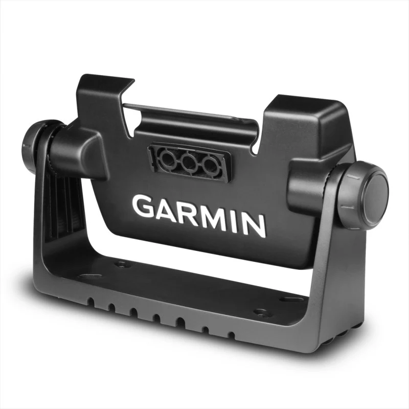
- Tilt/swivel mount with quick release cradle
- Protective cover
- Hardware
- Documentation
| Display Size | 5.4″ x 3.1″, 6.2″ (13.8 x 7.8 cm, 15.7 cm) |
| Power Input | 9 to 18 Vdc |
| Display Resolution | 800 x 480 pixels |
| GPS | Yes |
| Dimension | 8.1″ x 5.2″ x 2.6″ (20.6 x 13.1 x 6.7 cm) |
| Receiver | 10 Hz |
| Waterproof | IPX7 |
| Weight | 1.8 lbs (0.8 kg) |
| Mounting Options | Bail or flush |
| Display Type | WVGA, TN |
Maps & Navigation
| Garmin Navionics+™ (Coastal) | Yes (see Additional) |
| Garmin Navionics Vision+™ | Yes |
| Accepts Data Cards | 1 microSD™ card; 32 GB maximum size |
| Garmin Navionics+ Inland & Coastal | Yes (see Additional) |
| Garmin Navionics+ (Inland) | Yes (see Additional) |
| Navigation Routes | 100 |
| Garmin Navionics+™ | Yes |
Features
| Waypoints | 5,000 |
| Sailing features | Yes |
| NMEA 0183 Compatible | No |
| Has built-in receiver | Yes |
| USB ports | No |
| TOPO 100K | Yes |
| SideVü | Built-in 260/455/800/1000/1200 kHz |
| DSC | Yes |
| Touchscreen | Yes |
| Additional |
|
| LakeVü g3 Ultra | Yes |
| NMEA 2000® compatible | Yes |
| ActiveCaptain Mobile Planning Compatible | yes |
| Typical current draw at 12 Vdc | 1.53 A |
| NMEA 2000® ports | yes |
| Tide tables | Yes (see Additional) |
| GLONASS | Yes |
| Track points | 50,000 |
| Panoptix™ sonar | Yes |
| Garmin Marine Network Ports | 1 |
| LakeVü g3 | Yes |
| Supports WAAS | Yes |
| GSD Black Box Sonar Support | No |
| Maximum current draw at 12 Vdc | 3.2 A |
| Garmin SmartMode compatible (customisable monitor presets) | No |
| Built-in Auto Guidance | No |
| Maximum power usage at 10 Vdc | 18.4 W |
| BlueChart g3 | Yes |
| Standard Mapping | Yes |
| LakeVu (inland) | No |
| Built-in Auto Guidance+ | Yes (downloadable via ActiveCaptain app) |
| Displays sonar | Yes |
| ANT+ (Connectivity) | Yes |
| GCV Black Box Sonar Support | No |
| BNC external GPS antenna port | No |
| Spoken audio alerts | No |
| BlueChart g3 Vision | Yes |
| Garmin Wi-Fi network (local connection) | Yes |
| Input | Touchscreen with Keyed Assist |
| BeiDou | Yes |
| Garmin Quickdraw Contours | Yes |
| Bluetooth® calling | Yes |
| AIS | Yes |
| Supports multi-band, multi-constellation GPS | Yes |
| Raster chart support | No |
| OneHelm support | No |
| ClearVü | Built-in 260/455/800/1000/1200 kHz |
| Tracks | 50 saved tracks |
| Wireless Remote Compatible | No |
| Supports Fusion-Link™ compatible radios | Yes |
| Galileo | Yes |
| LiveScope | Yes |
| Power output | 500 W |
| 12-pin transducer ports | 1 |
| BlueChart (coastal) | No |
| Traditional sonar (dual frequency/beam) | Built-in (single channel CHIRP, 50/77/83/200 kHz, L, M, H CHIRP) |
| GRID (Garmin Remote Input Device) compatible | No |